Medium airport · Tanzania

Lake Manyara AirportHTLM
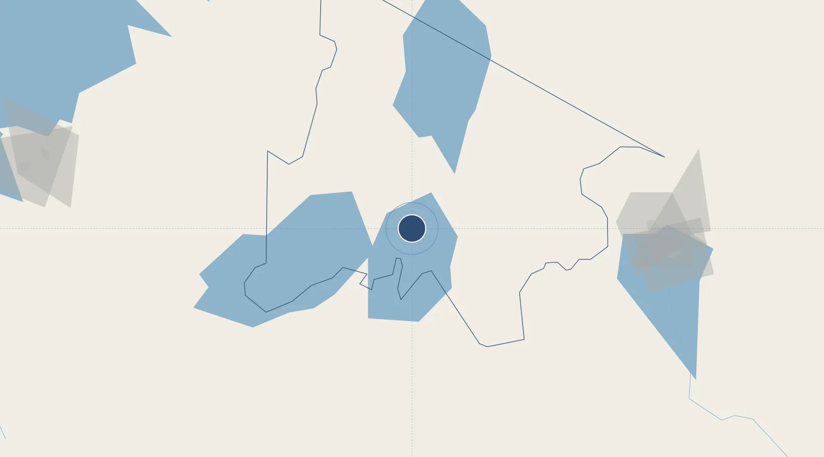
-3.3763°, 35.8183°
4,003 ft
Longest runway
1
Runways
4,150 ft
Elevation

Runway & Layout

Lake Manyara Airport runway & taxiway layout
Runway & taxiway layout — OpenStreetMap (ODbL) / OurAirports

Runways · 1

RunwayDimensions SurfaceTrue headingLit
12/30 4,003 × 66ft Bitumen 119°
OurAirports

Airport Specifications

IATA code
LKY
OurAirports
ICAO code
HTLM
OurAirports
Airport class
Medium airport
OurAirports
Scheduled service
No
OurAirports
Runway surface
Bitumen
OurAirports
Served city
Lake Manyara National Park
OurAirports

Location

Location of HTLM
Natural Earth 10m (public domain) · Arusha · HTLM · -3.38, 35.82GoogleOSMYandex

Nearby Logistics Neighbours

Airports
  1. 1Arusha Airport91 km
  2. 2Kilimanjaro International Airport139 km
  3. 3Seronera Airport151 km
  4. 4Amboseli Airport179 km
  5. 5Mara Serena Lodge Airstrip237 km
Nearest neighbours — logibook spatial index (haversine) over the source coordinates
Cities
  1. 1Moshi168 km
  2. 2Nairobi255 km
  3. 3Naivasha304 km
  4. 4Mwanza338 km
  5. 5Mwingi369 km
Nearest neighbours — logibook spatial index (haversine) over the source coordinates
Ports
  1. 1Tanga412 km
  2. 2Mombasa434 km
  3. 3Kilifi450 km
  4. 4Malindi479 km
  5. 5Zanzibar485 km
Nearest neighbours — logibook spatial index (haversine) over the source coordinates
Trade Zones
  1. 1Kisongo Export Processing Zone86 km
  2. 2Mererani Export Processing Zone134 km
  3. 3Konza Technopolis Special Economic Zone229 km
  4. 4Ahti River Export Processing Zone248 km
  5. 5Compact Free Trade Zone256 km
Nearest neighbours — logibook spatial index (haversine) over the source coordinates
DatabookThe Record of Consolidated Knowledge
Tanzania beyond logistics?
Browse databook

All Sources

AirportsOurAirports
Public domain
Portsthe NGA World Port Index
Public domain (US gov)
LocationsUN/LOCODE
UN/LOCODE — free
Trade Zonesthe World Bank SEZ database
CC BY 4.0
Trade ZonesOpen Zone Map
CC BY
InfrastructureOpenStreetMap
ODbL 1.0
← Tanzania airports