Medium airport · Tanzania
Iringa AirportHTIR
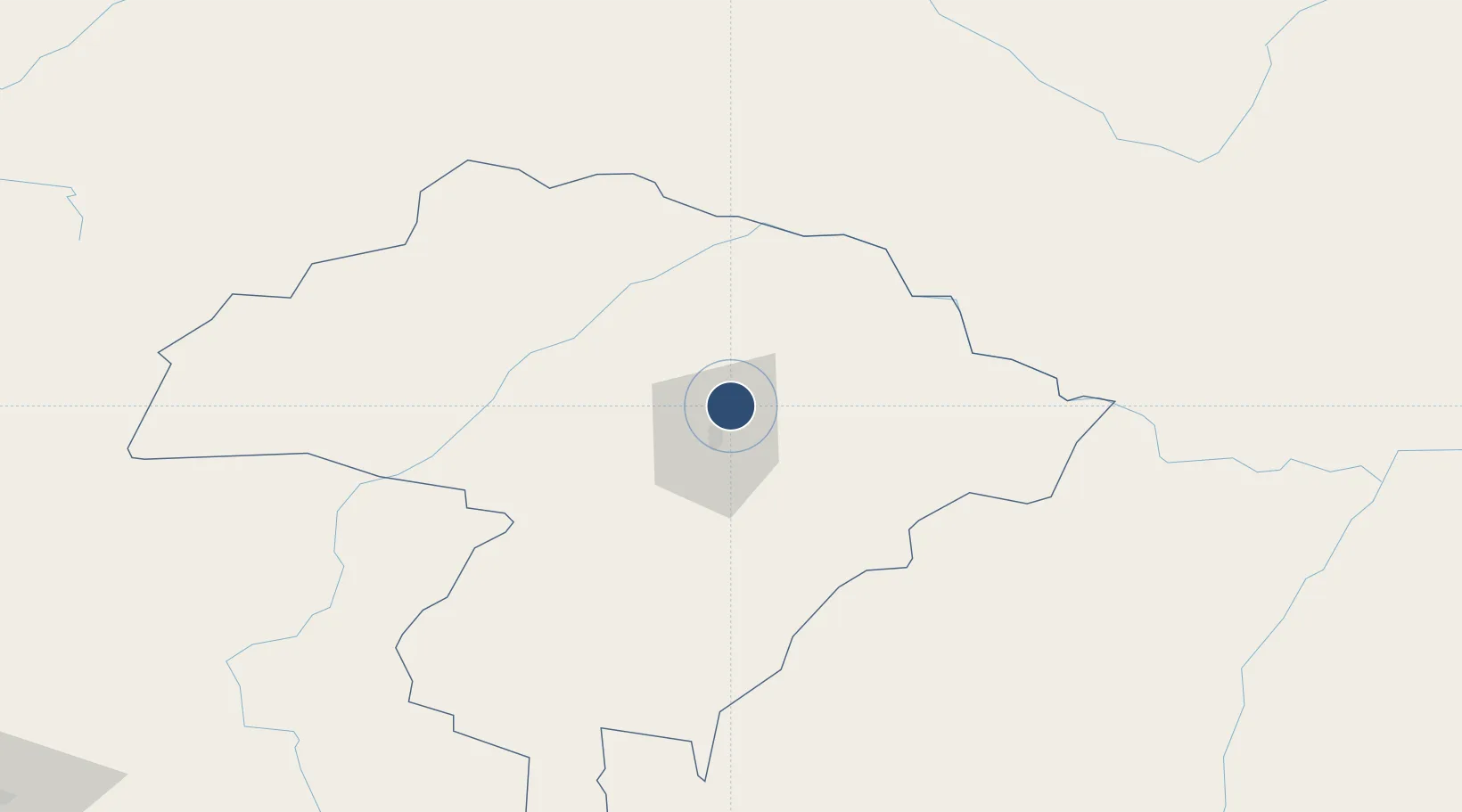
-7.6686°, 35.7521°
5,508 ft
Longest runway
1
Runways
4,678 ft
Elevation
Runway & Layout

Radio Frequencies
TWR
118.1 MHz
Navaids
IR NDB Iringa 397 kHz
Runways · 1
| Runway | Dimensions | Surface | True heading | Lit |
|---|---|---|---|---|
| 02/20 | 5,508 × 98ft | Asphalt | 013° | — |
Airport Specifications
IATA code
IRI
ICAO code
HTIR
Airport class
Medium airport
Scheduled service
No
Runway surface
Asphalt
Served city
Nduli
Location
Nearby Logistics Neighbours
Airports
- 1Dodoma Airport167 km
- 2Songwe Airport306 km
- 3Karonga Airport326 km
- 4Julius Nyerere International Airport391 km
- 5Abeid Amani Karume International Airport416 km
Cities
- 1Ikwiriri361 km
- 2Kibaha363 km
- 3African Inland Container Depot395 km
- 4Dar es Salaam397 km
- 5Zanzibar415 km
Ports
- 1Dar Es Salaam403 km
- 2Zanzibar414 km
- 3Kilwa Kivinje420 km
- 4Tanga470 km
- 5Mikindani561 km
Trade Zones
DatabookThe Record of Consolidated Knowledge
Tanzania beyond logistics?