Export Processing Zone · Tanzania

Mererani Export Processing Zone Under Development
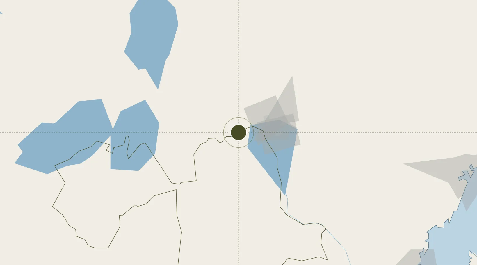
-3.5254°, 37.0189°
2,000 ha
Zone area
290.0 km
Nearest port
12.5 km
Nearest airport

Gateway access

Nearest neighbours — logibook spatial index (haversine) over the source coordinates

Zone profile

Zone type
Export Processing Zone
Open Zone Map
Region
Manyara
Open Zone Map
Status
Under Development
Open Zone Map
Management
Public
Open Zone Map
Operator
Export Processing Zone Authority
Open Zone Map
Legal framework
Special Economic Zones Act of 2006
Open Zone Map

Location

Location of ozm-4424
Natural Earth 10m (public domain) · Manyara · ozm-4424 · -3.53, 37.02GoogleOSMYandex

Nearby Logistics Neighbours

Ports
  1. 1Tanga290 km
  2. 2Mombasa300 km
  3. 3Kilifi316 km
  4. 4Malindi347 km
  5. 5Zanzibar379 km
Nearest neighbours — logibook spatial index (haversine) over the source coordinates
Airports
  1. 1Kilimanjaro International Airport13 km
  2. 2Arusha Airport46 km
  3. 3Amboseli Airport101 km
  4. 4Lake Manyara Airport134 km
  5. 5Jomo Kenyatta International Airport246 km
Nearest neighbours — logibook spatial index (haversine) over the source coordinates
Cities
  1. 1Moshi40 km
  2. 2Nairobi244 km
  3. 3Tanga288 km
  4. 4Shimoni291 km
  5. 5Mombasa295 km
Nearest neighbours — logibook spatial index (haversine) over the source coordinates
Trade Zones
  1. 1Kisongo Export Processing Zone50 km
  2. 2Konza Technopolis Special Economic Zone197 km
  3. 3Ahti River Export Processing Zone229 km
  4. 4Compact Free Trade Zone244 km
  5. 5Dundani Industrial Park255 km
Nearest neighbours — logibook spatial index (haversine) over the source coordinates
DatabookThe Record of Consolidated Knowledge
Tanzania beyond logistics?
Browse databook

All Sources

Trade ZonesOpen Zone Map
CC BY
Portsthe NGA World Port Index
Public domain (US gov)
AirportsOurAirports
Public domain
LocationsUN/LOCODE
UN/LOCODE — free
← Tanzania trade zones