Small airport · Tanzania

Shinyanga AirportHTSY
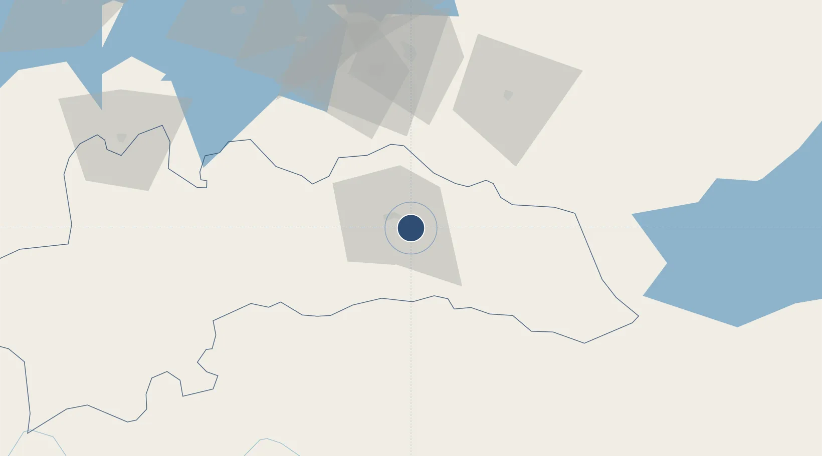
-3.6093°, 33.5035°
6,785 ft
Longest runway
1
Runways
3,800 ft
Elevation

Runway & Layout

Shinyanga Airport runway & taxiway layout
Runway & taxiway layout — OpenStreetMap (ODbL) / OurAirports

Runways · 1

RunwayDimensions SurfaceTrue headingLit
11/29 6,785 × —ft Gravel
OurAirports

Airport Specifications

IATA code
SHY
OurAirports
ICAO code
HTSY
OurAirports
Airport class
Small airport
OurAirports
Scheduled service
Yes
OurAirports
Runway surface
Gravel
OurAirports
Served city
Shinyanga
OurAirports

Location

Location of HTSY
Natural Earth 10m (public domain) · Shinyanga · HTSY · -3.61, 33.50GoogleOSMYandex

Nearby Logistics Neighbours

Airports
  1. 1Mwanza International Airport144 km
  2. 2Tabora Airport179 km
  3. 3Seronera Airport195 km
  4. 4Musoma Airport237 km
  5. 5Lake Manyara Airport258 km
Nearest neighbours — logibook spatial index (haversine) over the source coordinates
Cities
  1. 1Mwanza139 km
  2. 2Kibondo309 km
  3. 3Kagera335 km
  4. 4Kasulu392 km
  5. 5Kasulu392 km
Nearest neighbours — logibook spatial index (haversine) over the source coordinates
Ports
  1. 1Tanga644 km
  2. 2Mombasa686 km
  3. 3Zanzibar691 km
  4. 4Kilifi706 km
  5. 5Dar Es Salaam734 km
Nearest neighbours — logibook spatial index (haversine) over the source coordinates
Trade Zones
  1. 1Kilengula Export Processing Zone124 km
  2. 2Usagara Export Processing Zone124 km
  3. 3Bunda Export Processing Zone178 km
  4. 4Tairo Export Processing Zone178 km
  5. 5Manyoni Export Processing Zone279 km
Nearest neighbours — logibook spatial index (haversine) over the source coordinates
DatabookThe Record of Consolidated Knowledge
Tanzania beyond logistics?
Browse databook

All Sources

AirportsOurAirports
Public domain
Portsthe NGA World Port Index
Public domain (US gov)
LocationsUN/LOCODE
UN/LOCODE — free
Trade Zonesthe World Bank SEZ database
CC BY 4.0
Trade ZonesOpen Zone Map
CC BY
InfrastructureOpenStreetMap
ODbL 1.0
← Tanzania airports