Seaport · Tanzania
Dar Es SalaamTZDAR
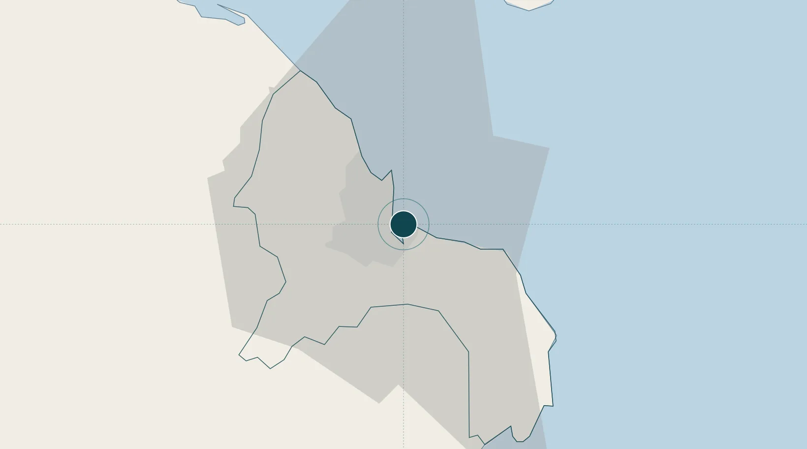
-6.8167°, 39.3000°
9.4 m
Channel depth
2
Container terminals
147.7
Port liner connectivity
Channel & Berth Profile
Pilotage, Tugs & Services
Pilotage compulsoryYES
Pilotage availableYES
Pilotage advisableYES
Local assistanceYES
Tug assistanceYES
Shore powerYES
Potable waterYES
Diesel bunkersYES
MedicalYES
Garbage disposalYES
Facilities & Capabilities
Container—
Ro-Ro—
Liquid bulk—
Dry bulk—
Oil terminal—
Break bulk—
Dry dock—
RepairsNO
BunkeringYES
Rail linkYES
Dangerous cargo—
ISPS security—
Harbour Specifications
Harbour size
Medium
Harbour type
Coastal (Natural)
Shelter
Excellent
Water body
Indian Ocean
Tidal range
3 m
Pilotage
Yes
Liner Connectivity
147.7
PLSCI
Port Liner Shipping Connectivity Index for Dar Es Salaam, as published by UNCTAD for the latest available quarter. Higher values indicate stronger scheduled liner-shipping integration.
Shown relative to the highest per-port PLSCI in the dataset (1,657.9).
Location
Container Terminals · 2
TANZANIA PORTS AUTHORITY (TPA)
CT1 TANZANIA PORTS AUTHORITY (TPA) / DP WORLD
TANZANIA EAST AFRICA GATEWAY TERMINAL (TEAGTL)
CT2 EAST AFRICA GATEWAY LTD. (EAGL) / ADANI PORTS AND SPECIAL ECONOMIC ZONE (APSEZ)
Nearby Logistics Neighbours
Ports
- 1Zanzibar73 km
- 2Tanga194 km
- 3Kilwa Kivinje214 km
- 4Mombasa309 km
- 5Kilifi360 km
Cities
- 1African Inland Container Depot8 km
- 2Kibaha43 km
- 3Zanzibar75 km
- 4Ikwiriri133 km
- 5Tanga196 km
Airports
- 1Julius Nyerere International Airport12 km
- 2Abeid Amani Karume International Airport67 km
- 3Mafia Airport129 km
- 4Pemba Airport182 km
- 5Tanga Airport193 km
DatabookThe Record of Consolidated Knowledge
Tanzania beyond logistics?