Specialized Zone · Tanzania
Star City Special Economic Zone Active
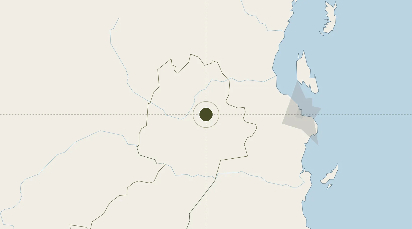
-6.8146°, 37.6535°
4,314 ha
Zone area
181.8 km
Nearest port
171.7 km
Nearest airport
Gateway access
Zone profile
Zone type
Specialized Zone
Specialization
Textiles
Region
Morogoro
Status
Active
Management
Public-Private Partnership
Operator
Star infrastructure development Ltd
Legal framework
Special Economic Zones Act of 2006
Location
Nearby Logistics Neighbours
Ports
- 1Dar Es Salaam182 km
- 2Zanzibar184 km
- 3Tanga252 km
- 4Kilwa Kivinje289 km
- 5Mombasa378 km
Airports
- 1Julius Nyerere International Airport172 km
- 2Abeid Amani Karume International Airport186 km
- 3Dodoma Airport222 km
- 4Iringa Airport230 km
- 5Tanga Airport248 km
Cities
- 1Kibaha140 km
- 2African Inland Container Depot174 km
- 3Dar es Salaam177 km
- 4Zanzibar185 km
- 5Ikwiriri199 km
Trade Zones
- 1Ujiji Export Processing Zone141 km
- 2Kibaha Textile Special Economic Zone146 km
- 3Kamal Industrial Estate153 km
- 4Kamal Industrial Park158 km
- 5Vigor Special Economic Zone158 km
DatabookThe Record of Consolidated Knowledge
Tanzania beyond logistics?