Free Trade Zone · Seychelles

Seychelles International Trade Zone Active
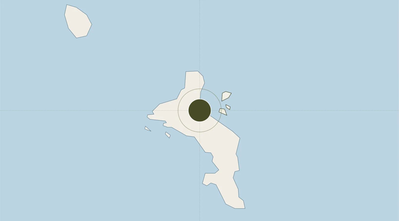
-4.6313°, 55.4583°
0 ha
Zone area
1.9 km
Nearest port
8.5 km
Nearest airport

Gateway access

Nearest neighbours — logibook spatial index (haversine) over the source coordinates

Zone profile

Zone type
Free Trade Zone
Open Zone Map
Region
Mont Fleuri
Open Zone Map
Status
Active
Open Zone Map
Management
Public
Open Zone Map
Operator
Financial Services Authority of Seychelles
Open Zone Map
Legal framework
Seychelles Int'l Trade Zone Act of 1995
Open Zone Map

Location

Location of ozm-4126
Natural Earth 10m (public domain) · Mont Fleuri · ozm-4126 · -4.63, 55.46GoogleOSMYandex

Nearby Logistics Neighbours

Ports
  1. 1Victoria2 km
  2. 2Antsiranana1087 km
  3. 3Muqdisho1346 km
  4. 4Maroantsetra1352 km
  5. 5Marka1380 km
Nearest neighbours — logibook spatial index (haversine) over the source coordinates
Airports
  1. 1Seychelles International Airport9 km
  2. 2Praslin Island Airport43 km
  3. 3Alphonse Airport401 km
  4. 4IAF Agalega651 km
  5. 5Arrachart Airport1094 km
Nearest neighbours — logibook spatial index (haversine) over the source coordinates
Cities
  1. 1Victoria2 km
  2. 2Anse Kerlan45 km
  3. 3Akpo617 km
  4. 4Antsiranana1087 km
  5. 5Nosy-Be1250 km
Nearest neighbours — logibook spatial index (haversine) over the source coordinates
Trade Zones
  1. 1Diego Suarez Andrakaka Multi-Sectoral Zone1087 km
  2. 2Lamu Port Special Economic Zone1637 km
  3. 3Toamasina Autonomous Port1641 km
  4. 4Tsarakofafa Special Economic Zone1643 km
  5. 5Mauritius JinFei Economic and Trade Cooperation Zone1737 km
Nearest neighbours — logibook spatial index (haversine) over the source coordinates
DatabookThe Record of Consolidated Knowledge
Seychelles beyond logistics?
Browse databook

All Sources

Trade ZonesOpen Zone Map
CC BY
Portsthe NGA World Port Index
Public domain (US gov)
AirportsOurAirports
Public domain
LocationsUN/LOCODE
UN/LOCODE — free
← Seychelles trade zones