Medium airport · Seychelles

Praslin Island AirportFSPP
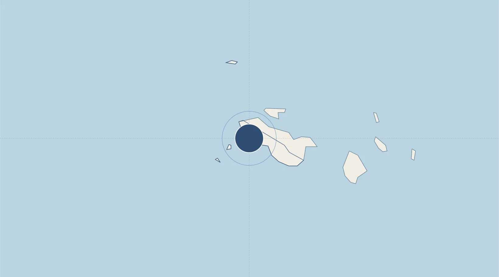
-4.3193°, 55.6916°
4,318 ft
Longest runway
1
Runways
10 ft
Elevation

Runway & Layout

Praslin Island Airport runway & taxiway layout
Runway & taxiway layout — OpenStreetMap (ODbL) / OurAirports

Radio Frequencies

TWR
122.3 MHz
GND
121.8 MHz
GRD
OurAirports

Navaids

PRA VOR-DME Praslin 115.70 MHz
OurAirports

Runways · 1

RunwayDimensions SurfaceTrue headingLit
15/33 4,318 × 104ft Asphalt 149°
OurAirports

Airport Specifications

IATA code
PRI
OurAirports
ICAO code
FSPP
OurAirports
Airport class
Medium airport
OurAirports
Scheduled service
Yes
OurAirports
Runway surface
Asphalt
OurAirports
Served city
Praslin Island
OurAirports

Location

Location of FSPP
Natural Earth 10m (public domain) · Grand'Anse Praslin · FSPP · -4.32, 55.69GoogleOSMYandex

Nearby Logistics Neighbours

Airports
  1. 1Seychelles International Airport44 km
  2. 2Alphonse Airport444 km
  3. 3IAF Agalega681 km
  4. 4Arrachart Airport1137 km
  5. 5Vohemar Airport1185 km
Nearest neighbours — logibook spatial index (haversine) over the source coordinates
Cities
  1. 1Anse Kerlan2 km
  2. 2Victoria43 km
  3. 3Akpo584 km
  4. 4Antsiranana1130 km
  5. 5Nosy-Be1293 km
Nearest neighbours — logibook spatial index (haversine) over the source coordinates
Ports
  1. 1Victoria43 km
  2. 2Antsiranana1130 km
  3. 3Muqdisho1349 km
  4. 4Marka1386 km
  5. 5Maroantsetra1395 km
Nearest neighbours — logibook spatial index (haversine) over the source coordinates
Trade Zones
  1. 1Seychelles International Trade Zone43 km
  2. 2Diego Suarez Andrakaka Multi-Sectoral Zone1130 km
  3. 3Lamu Port Special Economic Zone1657 km
  4. 4Toamasina Autonomous Port1683 km
  5. 5Tsarakofafa Special Economic Zone1685 km
Nearest neighbours — logibook spatial index (haversine) over the source coordinates
DatabookThe Record of Consolidated Knowledge
Seychelles beyond logistics?
Browse databook

All Sources

AirportsOurAirports
Public domain
Portsthe NGA World Port Index
Public domain (US gov)
LocationsUN/LOCODE
UN/LOCODE — free
Trade Zonesthe World Bank SEZ database
CC BY 4.0
Trade ZonesOpen Zone Map
CC BY
InfrastructureOpenStreetMap
ODbL 1.0
← Seychelles airports