Transport Functions
Port
Road
Airport
Hub Profile
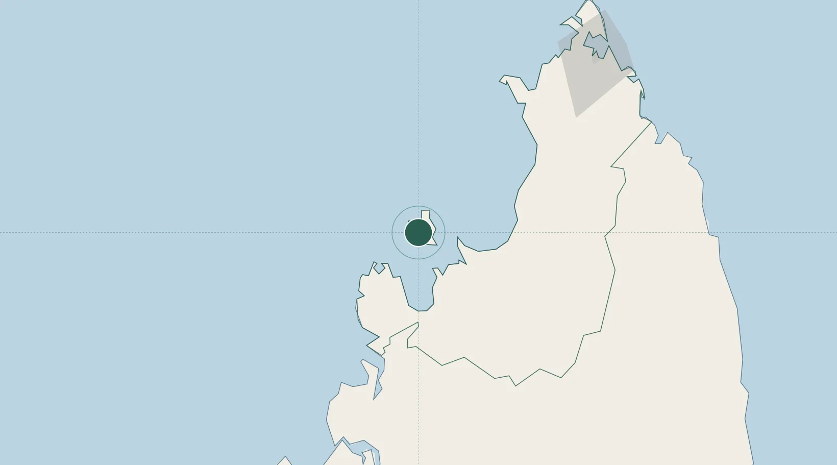
Place type
Populated place
Region
Diana
Time zone
Indian/Antananarivo
Elevation
113 m
Location
Nearby Logistics Neighbours
Cities
- 1Antsiranana163 km
- 2Dzaoudzi-Pamandzi Apt327 km
- 3Mamoudzou332 km
- 4Bandrele337 km
- 5Chirongui339 km
Ports
- 1Antsiranana163 km
- 2Maroantsetra290 km
- 3Dzaoudzi331 km
- 4Mahajanga338 km
- 5Moutsamoudu438 km
Airports
- 1Nosy Be-Fascene International Airport7 km
- 2Analalava Airport153 km
- 3Arrachart Airport157 km
- 4Ambalabe Airport176 km
- 5Vohemar Airport190 km
Trade Zones
DatabookThe Record of Consolidated Knowledge
Madagascar beyond logistics?