Large airport · Seychelles

Seychelles International AirportFSIA
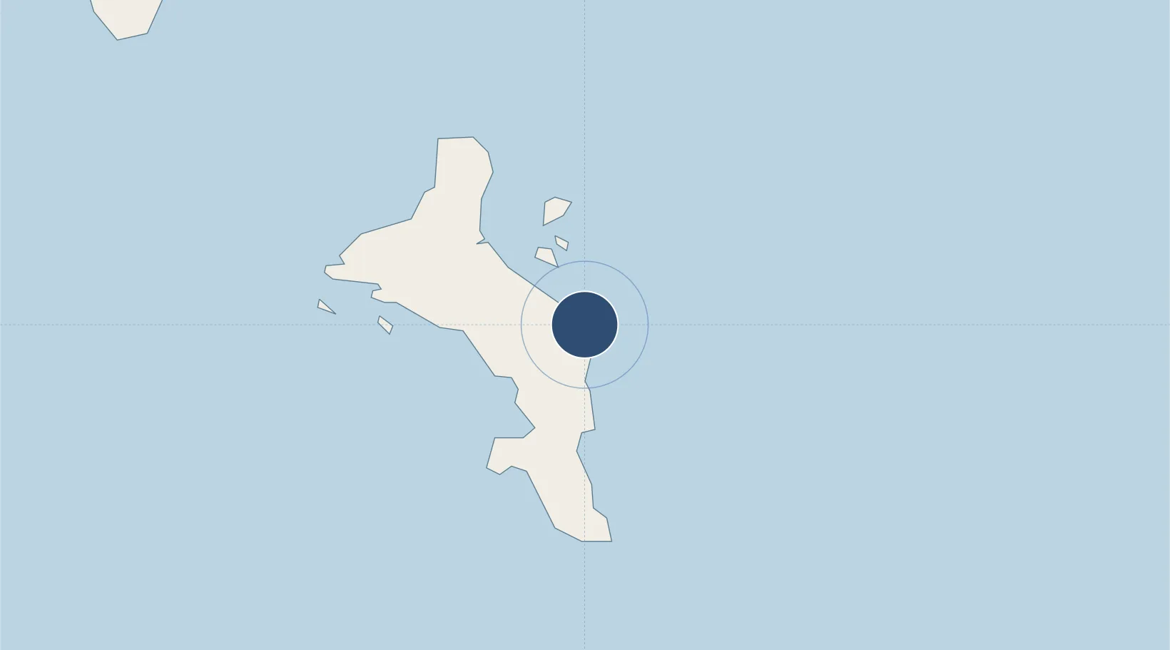
-4.6743°, 55.5218°
9,800 ft
Longest runway
1
Runways
10 ft
Elevation

Runway & Layout

Seychelles International Airport runway & taxiway layout
Runway & taxiway layout — OpenStreetMap (ODbL) / OurAirports

Radio Frequencies

TWR
118.3 MHz
APP
119.7 MHz
OurAirports

Navaids

SEY VOR-DME Seychelles 113.10 MHz
SEY NDB Seychelles 373 kHz
OurAirports

Runways · 1

RunwayDimensions SurfaceTrue headingLit
13/31 9,800 × 151ft Concrete 125°
OurAirports

Airport Specifications

IATA code
SEZ
OurAirports
ICAO code
FSIA
OurAirports
Airport class
Large airport
OurAirports
Scheduled service
Yes
OurAirports
Runway surface
Concrete
OurAirports
Served city
Victoria
OurAirports

Location

Location of FSIA
Natural Earth 10m (public domain) · Pointe La Rue · FSIA · -4.67, 55.52GoogleOSMYandex

Nearby Logistics Neighbours

Airports
  1. 1Praslin Island Airport44 km
  2. 2Alphonse Airport403 km
  3. 3IAF Agalega645 km
  4. 4Arrachart Airport1094 km
  5. 5Vohemar Airport1141 km
Nearest neighbours — logibook spatial index (haversine) over the source coordinates
Cities
  1. 1Victoria10 km
  2. 2Anse Kerlan45 km
  3. 3Akpo612 km
  4. 4Antsiranana1087 km
  5. 5Nosy-Be1250 km
Nearest neighbours — logibook spatial index (haversine) over the source coordinates
Ports
  1. 1Victoria10 km
  2. 2Antsiranana1088 km
  3. 3Maroantsetra1351 km
  4. 4Muqdisho1354 km
  5. 5Marka1389 km
Nearest neighbours — logibook spatial index (haversine) over the source coordinates
Trade Zones
  1. 1Seychelles International Trade Zone9 km
  2. 2Diego Suarez Andrakaka Multi-Sectoral Zone1087 km
  3. 3Toamasina Autonomous Port1639 km
  4. 4Tsarakofafa Special Economic Zone1641 km
  5. 5Lamu Port Special Economic Zone1644 km
Nearest neighbours — logibook spatial index (haversine) over the source coordinates
DatabookThe Record of Consolidated Knowledge
Seychelles beyond logistics?
Browse databook

All Sources

AirportsOurAirports
Public domain
Portsthe NGA World Port Index
Public domain (US gov)
LocationsUN/LOCODE
UN/LOCODE — free
Trade Zonesthe World Bank SEZ database
CC BY 4.0
Trade ZonesOpen Zone Map
CC BY
InfrastructureOpenStreetMap
ODbL 1.0
← Seychelles airports