Transport Functions
Multimodal
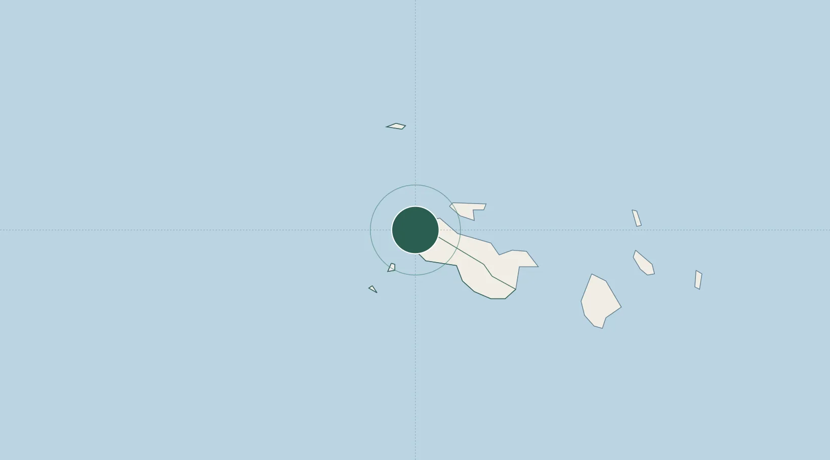
Hub Profile
Place type
Populated place
Region
Grand Anse Praslin
Time zone
Indian/Mahe
Elevation
2 m
Location
Nearby Logistics Neighbours
Cities
- 1Victoria44 km
- 2Akpo584 km
- 3Antsiranana1131 km
- 4Nosy-Be1294 km
- 5El Maan1331 km
Ports
- 1Victoria44 km
- 2Antsiranana1131 km
- 3Muqdisho1347 km
- 4Marka1384 km
- 5Maroantsetra1396 km
Airports
- 1Praslin Island Airport2 km
- 2Seychelles International Airport45 km
- 3Alphonse Airport444 km
- 4IAF Agalega683 km
- 5Arrachart Airport1138 km
Trade Zones
DatabookThe Record of Consolidated Knowledge
Seychelles beyond logistics?