Free Trade Zone · Mauritius

Mauritius JinFei Economic and Trade Cooperation Zone Active
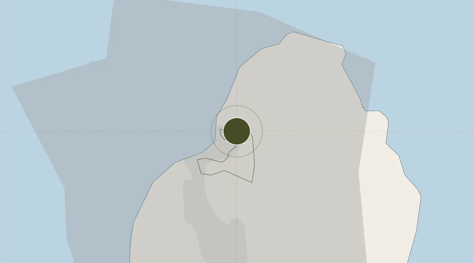
-20.1262°, 57.5236°
211 ha
Zone area
3.6 km
Nearest port
37.7 km
Nearest airport

Gateway access

Nearest neighbours — logibook spatial index (haversine) over the source coordinates

Zone profile

Zone type
Free Trade Zone
Open Zone Map
Region
Port Louis
Open Zone Map
Status
Active
Open Zone Map
Management
Private
Open Zone Map
Operator
Mauritius JinFei Economic and Trade Cooperation Zone Co. Ltd.
Open Zone Map
Legal framework
Act 43/2004 on Freeports
Open Zone Map

Location

Location of ozm-2842
Natural Earth 10m (public domain) · Port Louis · ozm-2842 · -20.13, 57.52GoogleOSMYandex

Nearby Logistics Neighbours

Ports
  1. 1Port Louis4 km
  2. 2Saint-Denis231 km
  3. 3Saint-Pierre254 km
  4. 4Port Mathurin618 km
  5. 5Toamasina879 km
Nearest neighbours — logibook spatial index (haversine) over the source coordinates
Airports
  1. 1Sir Seewoosagur Ramgoolam International Airport38 km
  2. 2Roland Garros Airport225 km
  3. 3Saint-Pierre Pierrefonds Airport256 km
  4. 4Sir Charles Gaetan Duval Airport611 km
  5. 5Sainte Marie Airport879 km
Nearest neighbours — logibook spatial index (haversine) over the source coordinates
Cities
  1. 1Port Louis3 km
  2. 2Fond du Sac11 km
  3. 3Albion15 km
  4. 4Phoenix18 km
  5. 5Tamarin27 km
Nearest neighbours — logibook spatial index (haversine) over the source coordinates
Trade Zones
  1. 1Riche Terre Industrial Zone1 km
  2. 2The Mauritius Free Port4 km
  3. 3Free Zone Mauritius9 km
  4. 4Mon Tresor Free Zone38 km
  5. 5Toamasina Autonomous Port878 km
Nearest neighbours — logibook spatial index (haversine) over the source coordinates
DatabookThe Record of Consolidated Knowledge
Mauritius beyond logistics?
Browse databook

All Sources

Trade ZonesOpen Zone Map
CC BY
Portsthe NGA World Port Index
Public domain (US gov)
AirportsOurAirports
Public domain
LocationsUN/LOCODE
UN/LOCODE — free
← Mauritius trade zones