Transport Functions
Port
Road
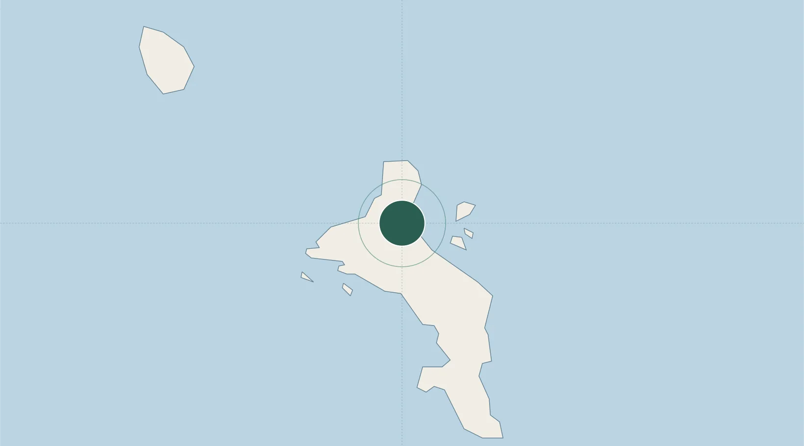
Hub Profile
Place type
National capital
Region
La Rivière Anglaise
Population
22,881
Time zone
Indian/Mahe
Elevation
4 m
Location
Nearby Logistics Neighbours
Cities
- 1Anse Kerlan44 km
- 2Akpo618 km
- 3Antsiranana1087 km
- 4Nosy-Be1250 km
- 5El Maan1329 km
Ports
- 1Victoria0 km
- 2Antsiranana1088 km
- 3Muqdisho1344 km
- 4Maroantsetra1353 km
- 5Marka1379 km
Airports
- 1Seychelles International Airport10 km
- 2Praslin Island Airport43 km
- 3Alphonse Airport402 km
- 4IAF Agalega653 km
- 5Arrachart Airport1094 km
Trade Zones
DatabookThe Record of Consolidated Knowledge
Seychelles beyond logistics?