Seaport · Seychelles

VictoriaSCPOV

-4.6167°, 55.4500°
1.8 m
Channel depth
35.8
Port liner connectivity

Channel & Berth Profile

SEA LEVEL (CD)CHANNEL BEDChannel · 1.8 mOil terminal · 6.4 mCargo pier · 9.4 mAnchorage · 14.0 m
NGA World Port Index

Pilotage, Tugs & Services

Pilotage compulsoryYES
Pilotage availableYES
Pilotage advisableYES
Tug assistanceYES
Shore powerYES
Potable waterYES
Diesel bunkersYES
MedicalYES
Garbage disposalYES
NGA World Port Index

Facilities & Capabilities

Container
Ro-Ro
Liquid bulk
Dry bulk
Oil terminal
Break bulk
Dry dock
Repairs
BunkeringYES
Rail link
Dangerous cargo
ISPS security
NGA World Port Index

Harbour Specifications

Harbour size
Very Small
NGA World Port Index
Harbour type
Coastal (Natural)
NGA World Port Index
Shelter
Fair
NGA World Port Index
Water body
Indian Ocean
NGA World Port Index
Tidal range
2 m
NGA World Port Index
Overhead limit
Yes
NGA World Port Index
Pilotage
Yes
NGA World Port Index

Liner Connectivity

35.8
PLSCI

Port Liner Shipping Connectivity Index for Victoria, as published by UNCTAD for the latest available quarter. Higher values indicate stronger scheduled liner-shipping integration.

Shown relative to the highest per-port PLSCI in the dataset (1,657.9).
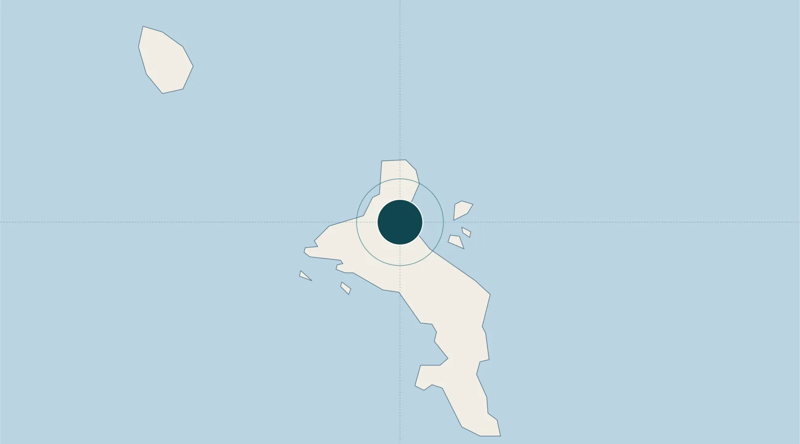
UNCTAD · Port Liner Shipping Connectivity Index

Location

Location of SCPOV
Natural Earth 10m (public domain) · English River · SCPOV · -4.62, 55.45GoogleOSMYandex

Nearby Logistics Neighbours

Ports
  1. 1Antsiranana1088 km
  2. 2Muqdisho1344 km
  3. 3Maroantsetra1353 km
  4. 4Marka1379 km
  5. 5Dzaoudzi1442 km
Nearest neighbours — logibook spatial index (haversine) over the source coordinates
Cities
  1. 1Victoria0 km
  2. 2Anse Kerlan44 km
  3. 3Akpo618 km
  4. 4Antsiranana1087 km
  5. 5Nosy-Be1250 km
Nearest neighbours — logibook spatial index (haversine) over the source coordinates
Airports
  1. 1Seychelles International Airport10 km
  2. 2Praslin Island Airport43 km
  3. 3Alphonse Airport402 km
  4. 4IAF Agalega653 km
  5. 5Arrachart Airport1094 km
Nearest neighbours — logibook spatial index (haversine) over the source coordinates
Trade Zones
  1. 1Seychelles International Trade Zone2 km
  2. 2Diego Suarez Andrakaka Multi-Sectoral Zone1088 km
  3. 3Lamu Port Special Economic Zone1635 km
  4. 4Toamasina Autonomous Port1642 km
  5. 5Tsarakofafa Special Economic Zone1644 km
Nearest neighbours — logibook spatial index (haversine) over the source coordinates
DatabookThe Record of Consolidated Knowledge
Seychelles beyond logistics?
Browse databook

All Sources

Portsthe NGA World Port Index
Public domain (US gov)
Logistics performanceUNCTAD
CC BY 3.0 IGO
AirportsOurAirports
Public domain
LocationsUN/LOCODE
UN/LOCODE — free
Trade Zonesthe World Bank SEZ database
CC BY 4.0
Trade ZonesOpen Zone Map
CC BY
← Seychelles ports