Channel & Berth Profile
Facilities & Capabilities
Container—
Ro-Ro—
Liquid bulk—
Dry bulk—
Oil terminal—
Break bulk—
Dry dock—
Repairs—
Bunkering—
Rail link—
Dangerous cargo—
ISPS security—
Harbour Specifications
Harbour size
Very Small
Harbour type
Open Roadstead
Shelter
Fair
Water body
Indian Ocean
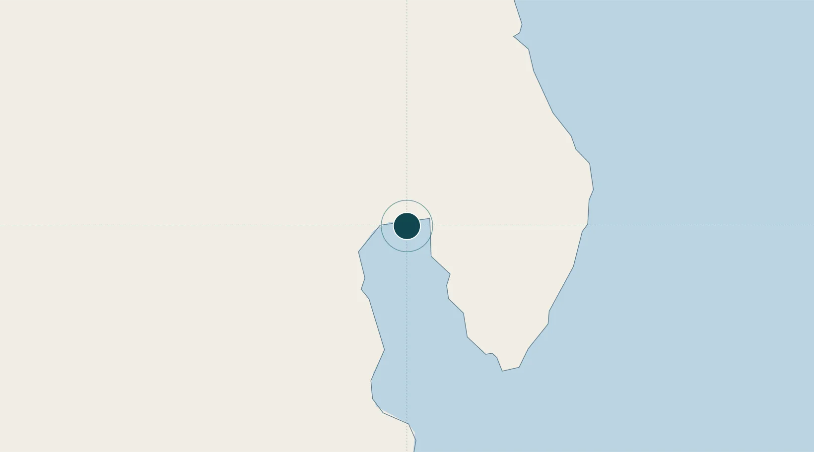
Location
Nearby Logistics Neighbours
Ports
- 1Toamasina305 km
- 2Antsiranana359 km
- 3Mahajanga378 km
- 4Dzaoudzi575 km
- 5Mananjary664 km
Cities
- 1Nosy-Be290 km
- 2Tamatave (Toamasina)303 km
- 3Antsiranana358 km
- 4Dzaoudzi-Pamandzi Apt571 km
- 5Chirongui576 km
Airports
- 1Maroantsetra Airport14 km
- 2Antsirabe Airport74 km
- 3Mananara Nord Airport80 km
- 4Andapa Airport91 km
- 5Sambava Airport136 km
Trade Zones
DatabookThe Record of Consolidated Knowledge
Madagascar beyond logistics?