UN/LOCODE hub · Madagascar
MGDIE
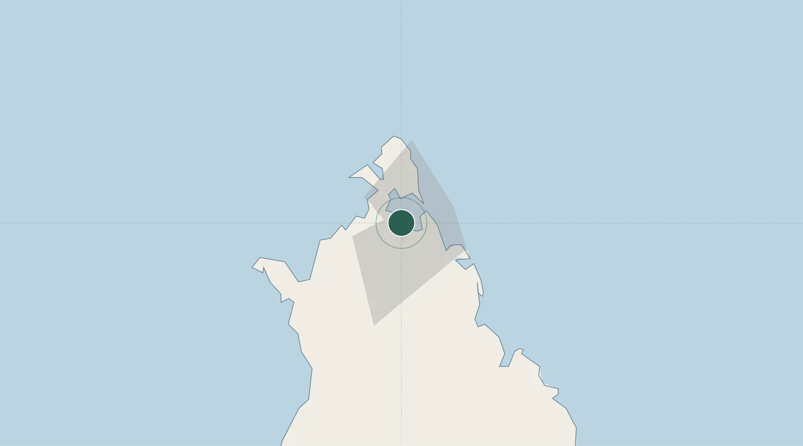
Antsiranana
-12.2689°, 49.2886°
136,959
Population
2
Transport functions
1
Container terminals
Transport Functions
Port
Airport
Hub Profile
Place type
Regional capital
Region
Diana
Population
136,959
Time zone
Indian/Antananarivo
Elevation
60 m
Logistics facilities
1
Container terminals
1
Location
Nearby Logistics Neighbours
Cities
- 1Nosy-Be163 km
- 2Dzaoudzi-Pamandzi Apt439 km
- 3Mamoudzou444 km
- 4Longoni450 km
- 5Bandrele453 km
Ports
- 1Maroantsetra358 km
- 2Dzaoudzi442 km
- 3Mahajanga501 km
- 4Moutsamoudu532 km
- 5Fomboni602 km
Airports
- 1Arrachart Airport9 km
- 2Vohemar Airport145 km
- 3Nosy Be-Fascene International Airport157 km
- 4Sambava Airport243 km
- 5Andapa Airport267 km
Trade Zones
DatabookThe Record of Consolidated Knowledge
Madagascar beyond logistics?