Transport Functions
Rail
Road
Hub Profile
Place type
Provincial seat
Region
Central Serbia
Population
82,846
Time zone
Europe/Belgrade
Elevation
207 m
Logistics facilities
1
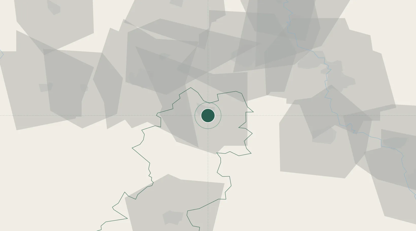
Location
Nearby Logistics Neighbours
Cities
- 1Bresnica20 km
- 2Knic23 km
- 3Cacak36 km
- 4Kragujevac38 km
- 5Gornji Milanovac42 km
Airports
Trade Zones
- 1FAS Free Zone Kragujevac36 km
- 2Kruševac Free Zone54 km
- 3Uō¾ice Free Zone67 km
- 4Svilajnac Free Zone72 km
- 5Free Economic Zone in Mitrovica92 km
DatabookThe Record of Consolidated Knowledge
Serbia beyond logistics?