Transport Functions
Rail
Road
Hub Profile
Place type
District seat
Region
Central Serbia
Time zone
Europe/Belgrade
Elevation
320 m
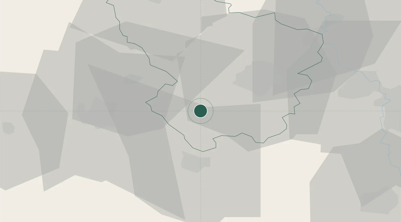
Location
Nearby Logistics Neighbours
Cities
- 1Bresnica12 km
- 2Kragujevac20 km
- 3Kraljevo23 km
- 4Gornji Milanovac25 km
- 5Cacak31 km
Airports
- 1Morava Airport15 km
- 2Ponikve Airport82 km
- 3Belgrade Nikola Tesla Airport105 km
- 4Niš Constantine the Great Airport112 km
- 5Batajnica Air Base119 km
Trade Zones
- 1FAS Free Zone Kragujevac17 km
- 2Svilajnac Free Zone54 km
- 3Kruševac Free Zone64 km
- 4Uō¾ice Free Zone66 km
- 5Smederevo Free Zone86 km
DatabookThe Record of Consolidated Knowledge
Serbia beyond logistics?