Diversified Zone · China

Yingkou Dashiqiao Economic Development Zone Active
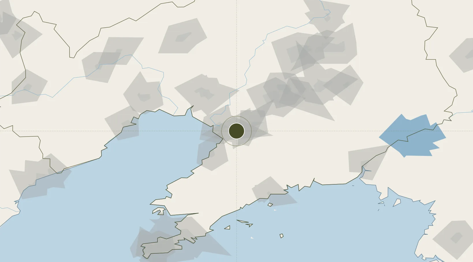
40.6173°, 122.5033°
253 ha
Zone area
23.9 km
Nearest port
14.8 km
Nearest airport

Gateway access

Nearest neighbours — logibook spatial index (haversine) over the source coordinates

Zone profile

Zone type
Diversified Zone
Open Zone Map
Region
Liaoning
Open Zone Map
Status
Active
Open Zone Map
Management
Public
Open Zone Map
Operator
Yingkou Dashiqiao Economic Development Zone Management committee
Open Zone Map
Legal framework
In October 2005, it was promoted to provincial development zone
Open Zone Map

Location

Location of ozm-398
Natural Earth 10m (public domain) · Liaoning · ozm-398 · 40.62, 122.50GoogleOSMYandex

Nearby Logistics Neighbours

Ports
  1. 1Yingkou24 km
  2. 2Bayuquan50 km
  3. 3Jinzhou Wan119 km
  4. 4Huludao Gang129 km
  5. 5Dandong166 km
Nearest neighbours — logibook spatial index (haversine) over the source coordinates
Airports
  1. 1Yingkou Lanqi Airport15 km
  2. 2Anshan Teng'ao Airport / Anshan Air Base62 km
  3. 3Jinzhou Bay Airport109 km
  4. 4Laohutun Air Base123 km
  5. 5Pulandian Air Base136 km
Nearest neighbours — logibook spatial index (haversine) over the source coordinates
Cities
  1. 1Yangshufang43 km
  2. 2Panjin43 km
  3. 3Yinkou50 km
  4. 4Dawa55 km
  5. 5Anshan70 km
Nearest neighbours — logibook spatial index (haversine) over the source coordinates
Trade Zones
  1. 1Yingkou Coastal Industrial Base23 km
  2. 2Haicheng Economic Development Zone34 km
  3. 3Dawa Lingang Economic Zone46 km
  4. 4Tengao Economic Development Zone57 km
  5. 5Panjin High-tech Industrial Development Zone72 km
Nearest neighbours — logibook spatial index (haversine) over the source coordinates
DatabookThe Record of Consolidated Knowledge
China beyond logistics?
Browse databook

All Sources

Trade ZonesOpen Zone Map
CC BY
Portsthe NGA World Port Index
Public domain (US gov)
AirportsOurAirports
Public domain
LocationsUN/LOCODE
UN/LOCODE — free
← China trade zones