UN/LOCODE hub · China
CNASN

Anshan

41.1167°, 123.0000°
1,450,000
Population
1
Transport functions

Transport Functions

Rail
UN/LOCODE

Hub Profile

Place type
Populated place
GeoNames
Region
Liaoning
GeoNames
Population
1,450,000
GeoNames
Time zone
Asia/Shanghai
GeoNames
Elevation
55 m
GeoNames

Location

Location of CNASN
Natural Earth 10m (public domain) · Liaoning · CNASN · 41.12, 123.00GoogleOSMYandex

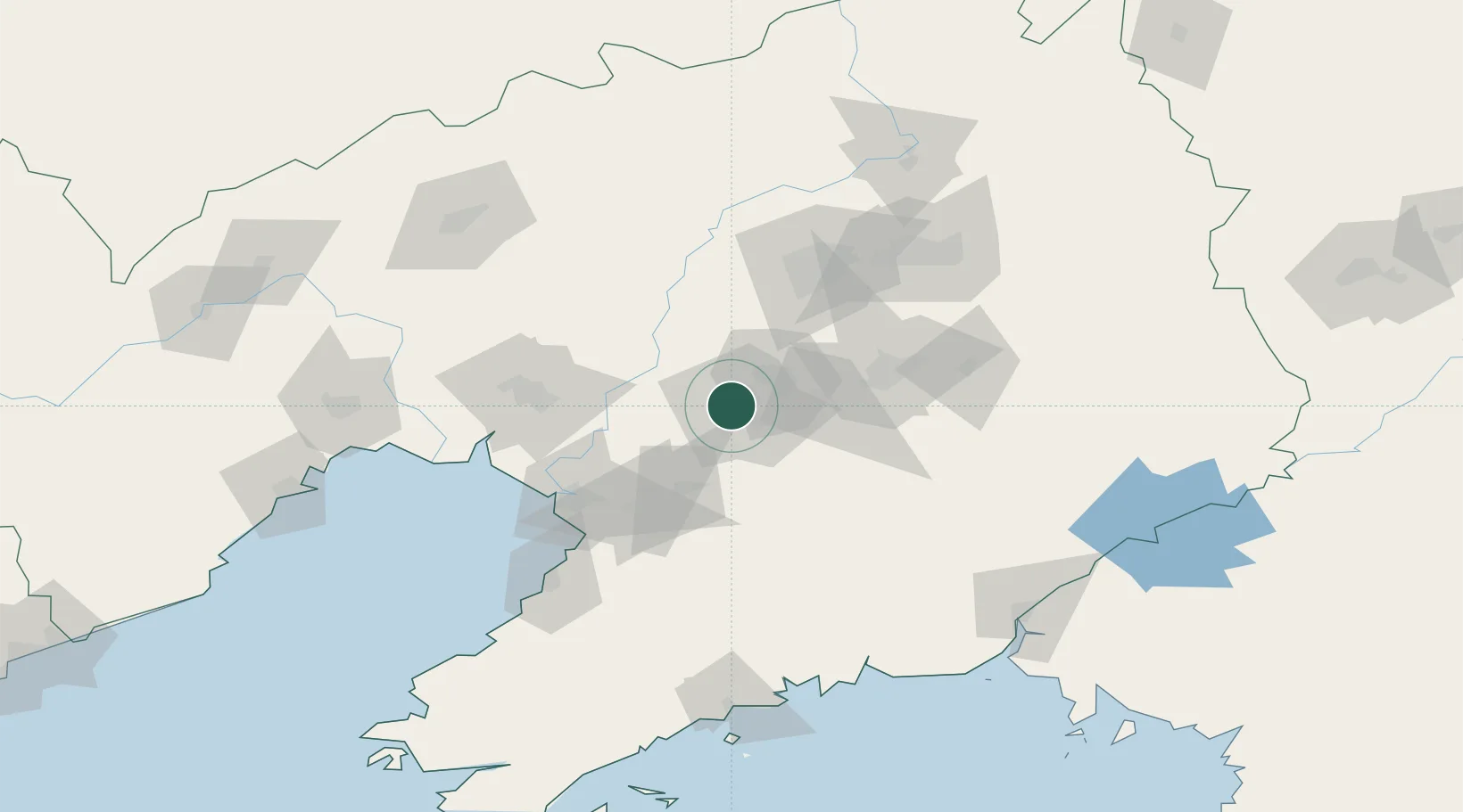
Nearby Logistics Neighbours

Cities
  1. 1Anshan Teng'ao Apt6 km
  2. 2Anping8 km
  3. 3Dawa80 km
  4. 4Shenyang84 km
  5. 5Panjin96 km
Nearest neighbours — logibook spatial index (haversine) over the source coordinates
Ports
  1. 1Yingkou81 km
  2. 2Bayuquan119 km
  3. 3Jinzhou Wan165 km
  4. 4Dandong174 km
  5. 5Huludao Gang176 km
Nearest neighbours — logibook spatial index (haversine) over the source coordinates
Airports
  1. 1Anshan Teng'ao Airport / Anshan Air Base12 km
  2. 2Shenyang Taoxian International Airport71 km
  3. 3Shenyang Yuhong Quansheng Airport82 km
  4. 4Yingkou Lanqi Airport84 km
  5. 5Shenyang Dongta Airport85 km
Nearest neighbours — logibook spatial index (haversine) over the source coordinates
Trade Zones
  1. 1Tengao Economic Development Zone15 km
  2. 2Taizihe Economic Development Zone23 km
  3. 3Haicheng Economic Development Zone36 km
  4. 4Shenyang Financial Business Development Zone39 km
  5. 5Shenyang Offshore Economic Zone46 km
Nearest neighbours — logibook spatial index (haversine) over the source coordinates
DatabookThe Record of Consolidated Knowledge
China beyond logistics?
Browse databook

All Sources

LocationsUN/LOCODE
UN/LOCODE — free
LocationsGeoNames
CC BY 4.0
Portsthe NGA World Port Index
Public domain (US gov)
AirportsOurAirports
Public domain
Trade Zonesthe World Bank SEZ database
CC BY 4.0
Trade ZonesOpen Zone Map
CC BY
← China locations