Transport Functions
Multimodal
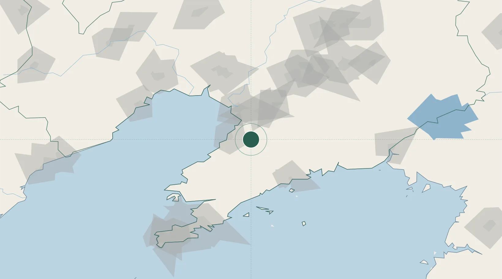
Hub Profile
Place type
Local administrative seat
Region
Liaoning
Time zone
Asia/Shanghai
Elevation
206 m
Location
Nearby Logistics Neighbours
Cities
- 1Yinkou28 km
- 2Songshu55 km
- 3Panjin63 km
- 4Zhuanghe Pt76 km
- 5Dawa89 km
Ports
- 1Bayuquan31 km
- 2Yingkou53 km
- 3Jinzhou Wan127 km
- 4Huludao Gang133 km
- 5Dandong153 km
Airports
- 1Yingkou Lanqi Airport35 km
- 2Laohutun Air Base85 km
- 3Pulandian Air Base94 km
- 4Anshan Teng'ao Airport / Anshan Air Base103 km
- 5Changhai Dachangshandao Airport109 km
DatabookThe Record of Consolidated Knowledge
China beyond logistics?