Diversified Zone · China

Tengao Economic Development Zone Active
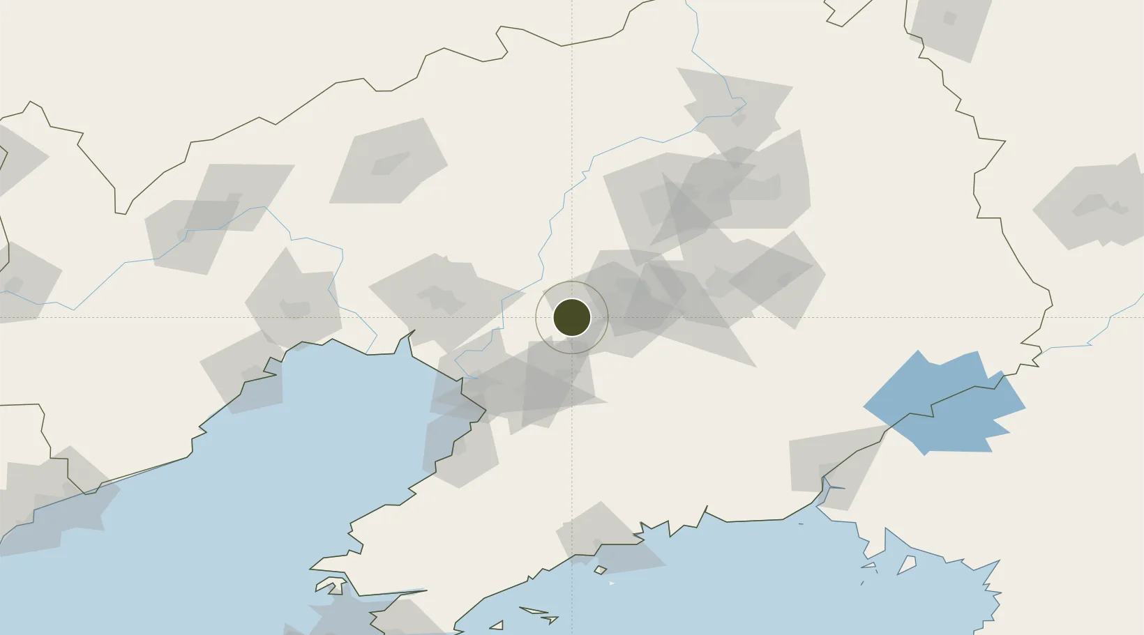
41.0703°, 122.8277°
230 ha
Zone area
65.9 km
Nearest port
4.5 km
Nearest airport

Gateway access

Nearest neighbours — logibook spatial index (haversine) over the source coordinates

Zone profile

Zone type
Diversified Zone
Open Zone Map
Region
Liaoning
Open Zone Map
Status
Active
Open Zone Map
Management
Public
Open Zone Map
Operator
Management Committee of Teng'ao Economic Development Zone
Open Zone Map
Legal framework
It was established in June 1992
Open Zone Map

Location

Location of ozm-383
Natural Earth 10m (public domain) · Liaoning · ozm-383 · 41.07, 122.83GoogleOSMYandex

Nearby Logistics Neighbours

Ports
  1. 1Yingkou66 km
  2. 2Bayuquan106 km
  3. 3Jinzhou Wan150 km
  4. 4Huludao Gang160 km
  5. 5Dandong179 km
Nearest neighbours — logibook spatial index (haversine) over the source coordinates
Airports
  1. 1Anshan Teng'ao Airport / Anshan Air Base5 km
  2. 2Yingkou Lanqi Airport71 km
  3. 3Shenyang Taoxian International Airport84 km
  4. 4Shenyang Yuhong Quansheng Airport92 km
  5. 5Shenyang Dongta Airport97 km
Nearest neighbours — logibook spatial index (haversine) over the source coordinates
Cities
  1. 1Anshan15 km
  2. 2Anshan Teng'ao Apt20 km
  3. 3Anping23 km
  4. 4Dawa65 km
  5. 5Panjin81 km
Nearest neighbours — logibook spatial index (haversine) over the source coordinates
Trade Zones
  1. 1Haicheng Economic Development Zone23 km
  2. 2Taizihe Economic Development Zone36 km
  3. 3Shenyang Offshore Economic Zone49 km
  4. 4Shenyang Financial Business Development Zone54 km
  5. 5Yingkou Dashiqiao Economic Development Zone57 km
Nearest neighbours — logibook spatial index (haversine) over the source coordinates
DatabookThe Record of Consolidated Knowledge
China beyond logistics?
Browse databook

All Sources

Trade ZonesOpen Zone Map
CC BY
Portsthe NGA World Port Index
Public domain (US gov)
AirportsOurAirports
Public domain
LocationsUN/LOCODE
UN/LOCODE — free
← China trade zones