Export Processing Zone · China

Dawa Lingang Economic Zone Active
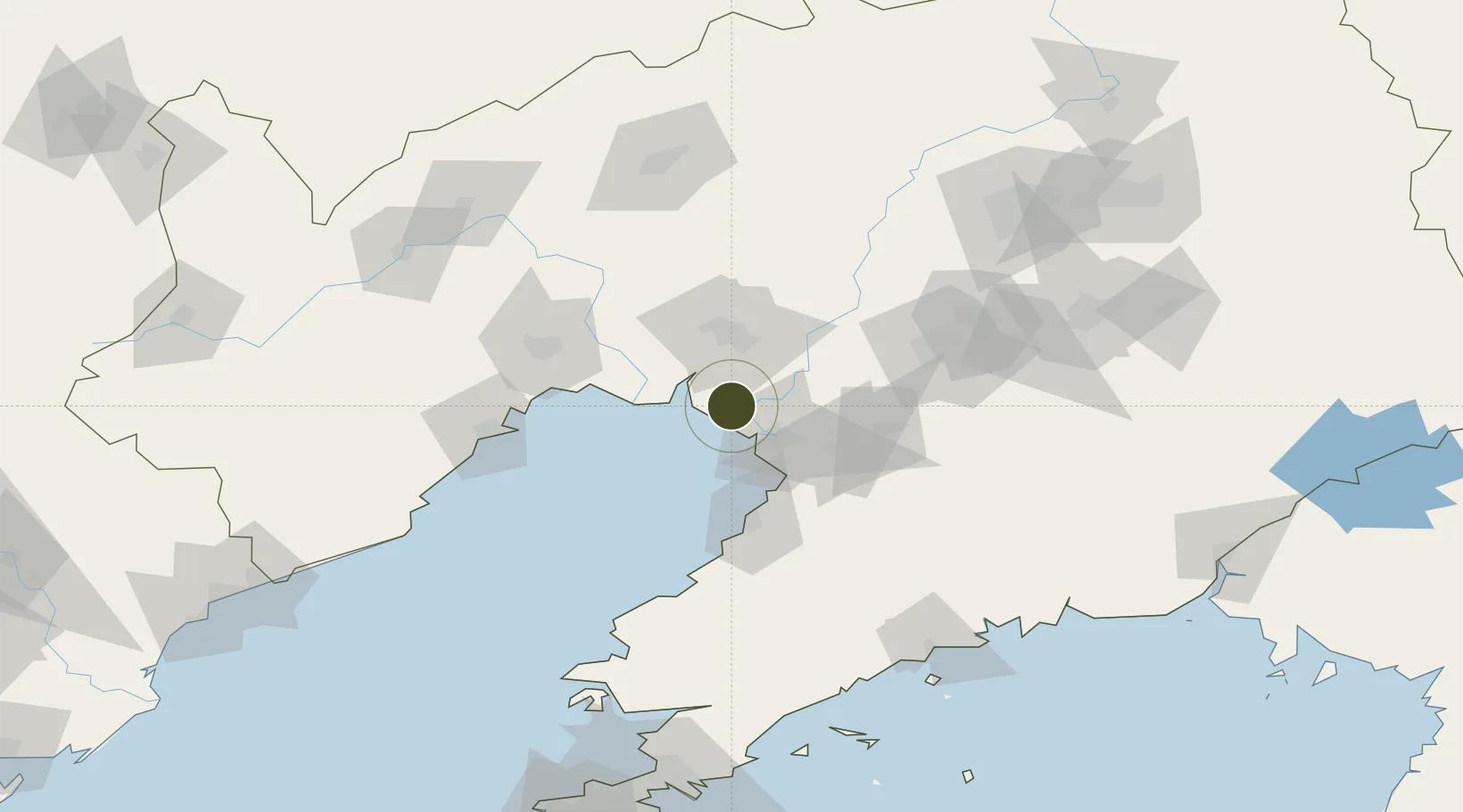
40.8341°, 122.0382°
18,000 ha
Zone area
23.5 km
Nearest port
42.2 km
Nearest airport

Gateway access

Nearest neighbours — logibook spatial index (haversine) over the source coordinates

Zone profile

Zone type
Export Processing Zone
Open Zone Map
Region
Liaoning
Open Zone Map
Status
Active
Open Zone Map
Management
Public
Open Zone Map
Operator
Working Committee of Dawa Lingang Economic Zone
Open Zone Map
Legal framework
Master planning of Dawa Lingang Economic Zone
Open Zone Map

Location

Location of ozm-1470
Natural Earth 10m (public domain) · Liaoning · ozm-1470 · 40.83, 122.04GoogleOSMYandex

Nearby Logistics Neighbours

Ports
  1. 1Yingkou24 km
  2. 2Bayuquan60 km
  3. 3Jinzhou Wan80 km
  4. 4Huludao Gang90 km
  5. 5Dandong212 km
Nearest neighbours — logibook spatial index (haversine) over the source coordinates
Airports
  1. 1Yingkou Lanqi Airport42 km
  2. 2Jinzhou Bay Airport65 km
  3. 3Anshan Teng'ao Airport / Anshan Air Base75 km
  4. 4Xingcheng Air Base116 km
  5. 5Huangdicun Naval Air Base122 km
Nearest neighbours — logibook spatial index (haversine) over the source coordinates
Cities
  1. 1Panjin16 km
  2. 2Dawa17 km
  3. 3Goubangzi62 km
  4. 4Yinkou62 km
  5. 5Beizhen72 km
Nearest neighbours — logibook spatial index (haversine) over the source coordinates
DatabookThe Record of Consolidated Knowledge
China beyond logistics?
Browse databook

All Sources

Trade ZonesOpen Zone Map
CC BY
Portsthe NGA World Port Index
Public domain (US gov)
AirportsOurAirports
Public domain
LocationsUN/LOCODE
UN/LOCODE — free
← China trade zones