Export Processing Zone · China

Panjin High-tech Industrial Development Zone Active
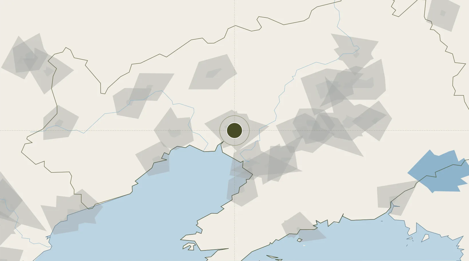
41.1563°, 122.0301°
672 ha
Zone area
55.3 km
Nearest port
67.7 km
Nearest airport

Gateway access

Nearest neighbours — logibook spatial index (haversine) over the source coordinates

Zone profile

Zone type
Export Processing Zone
Open Zone Map
Region
Liaoning
Open Zone Map
Status
Active
Open Zone Map
Management
Public
Open Zone Map
Operator
Panjin High-tech Industrial Development Zone Management committee
Open Zone Map
Legal framework
Provincial high-tech Zone approved by Liaoning Provincial Government in 2007
Open Zone Map

Location

Location of ozm-1200
Natural Earth 10m (public domain) · Liaoning · ozm-1200 · 41.16, 122.03GoogleOSMYandex

Nearby Logistics Neighbours

Ports
  1. 1Yingkou55 km
  2. 2Jinzhou Wan90 km
  3. 3Bayuquan95 km
  4. 4Huludao Gang102 km
  5. 5Dandong233 km
Nearest neighbours — logibook spatial index (haversine) over the source coordinates
Airports
  1. 1Jinzhou Bay Airport68 km
  2. 2Anshan Teng'ao Airport / Anshan Air Base69 km
  3. 3Yingkou Lanqi Airport74 km
  4. 4Fuxin Air Base107 km
  5. 5Xingcheng Air Base129 km
Nearest neighbours — logibook spatial index (haversine) over the source coordinates
Cities
  1. 1Dawa20 km
  2. 2Goubangzi31 km
  3. 3Beizhen40 km
  4. 4Panjin52 km
  5. 5Heishan59 km
Nearest neighbours — logibook spatial index (haversine) over the source coordinates
Trade Zones
  1. 1Liaoning North New Material Industrial Park11 km
  2. 2Goubangzi Economic Development Zone33 km
  3. 3Dawa Lingang Economic Zone36 km
  4. 4Heishan Panghe Economic Development Zone57 km
  5. 5Yingkou Coastal Industrial Base61 km
Nearest neighbours — logibook spatial index (haversine) over the source coordinates
DatabookThe Record of Consolidated Knowledge
China beyond logistics?
Browse databook

All Sources

Trade ZonesOpen Zone Map
CC BY
Portsthe NGA World Port Index
Public domain (US gov)
AirportsOurAirports
Public domain
LocationsUN/LOCODE
UN/LOCODE — free
← China trade zones