Runway & Layout

Runways · 1
| Runway | Dimensions | Surface | True heading | Lit |
|---|---|---|---|---|
| 04/22 | 8,202 × —ft | — | — | — |
Airport Specifications
IATA code
YKH
ICAO code
ZYYK
Airport class
Medium airport
Scheduled service
Yes
Served city
Yingkou (Laobian)
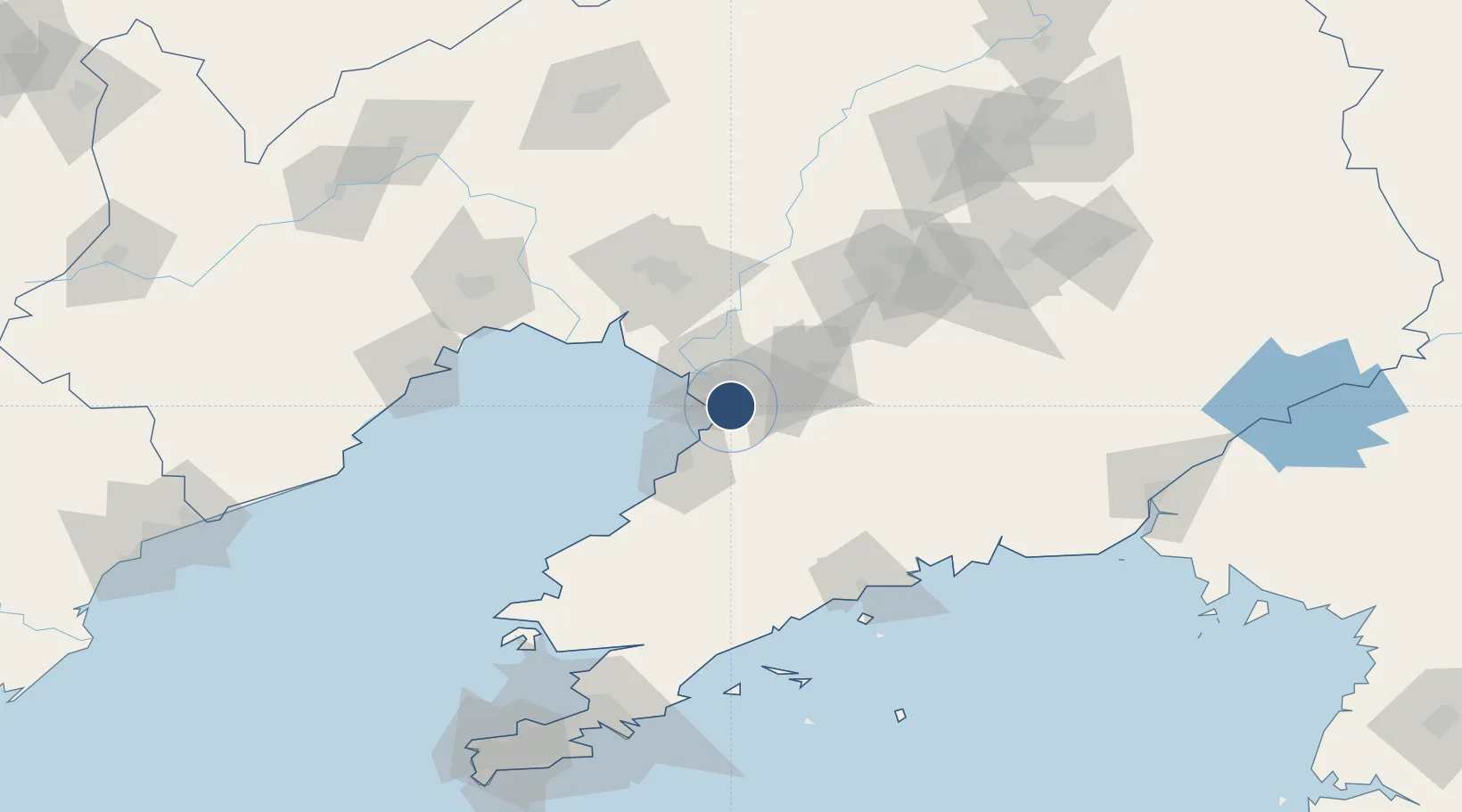
Location
Nearby Logistics Neighbours
Airports
- 1Anshan Teng'ao Airport / Anshan Air Base75 km
- 2Jinzhou Bay Airport101 km
- 3Laohutun Air Base109 km
- 4Pulandian Air Base125 km
- 5Xingcheng Air Base140 km
Cities
- 1Panjin35 km
- 2Yangshufang35 km
- 3Yinkou36 km
- 4Dawa55 km
- 5Anshan84 km
Ports
- 1Yingkou19 km
- 2Bayuquan36 km
- 3Jinzhou Wan109 km
- 4Huludao Gang117 km
- 5Dandong172 km
DatabookThe Record of Consolidated Knowledge
China beyond logistics?