Runway & Layout

Airport Specifications
Airport class
Medium airport
Scheduled service
No
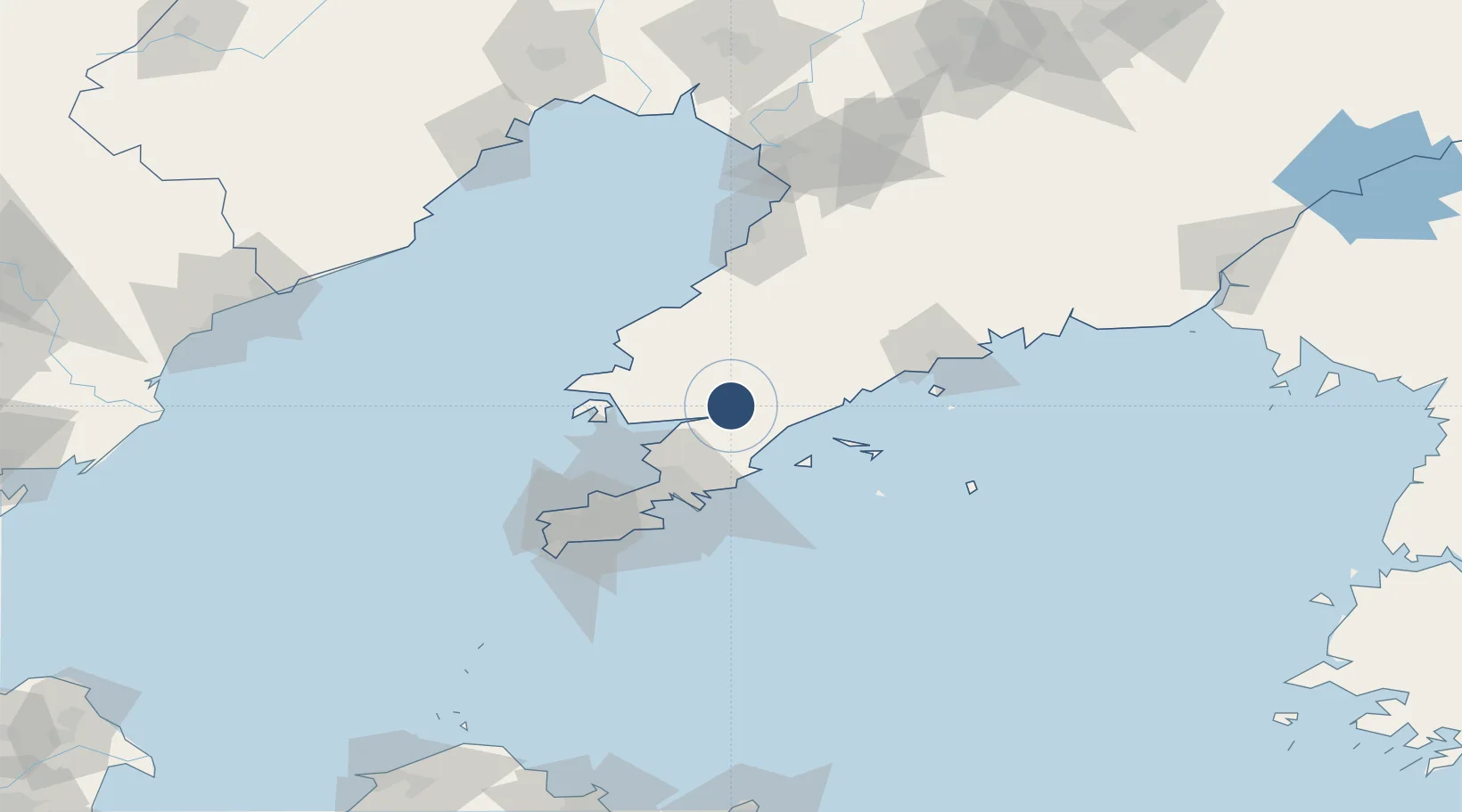
Served city
Pulandian, Dalian
Location
Nearby Logistics Neighbours
Airports
Cities
- 1Songshu41 km
- 2Dalian51 km
- 3Sikuaishi51 km
- 4Dashihuagang71 km
- 5Zhuanghe Pt85 km
Ports
- 1Dalian67 km
- 2Bayuquan95 km
- 3Lushun100 km
- 4Yingkou138 km
- 5Jinzhou Wan164 km
Trade Zones
DatabookThe Record of Consolidated Knowledge
China beyond logistics?