Transport Functions
Port
Road
Hub Profile
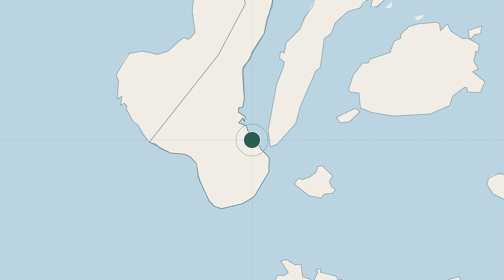
Place type
Populated place
Region
Central Visayas
Population
3,533
Time zone
Asia/Manila
Elevation
26 m
Location
Nearby Logistics Neighbours
Ports
- 1Dumaguete17 km
- 2Bais20 km
- 3Lazi58 km
- 4Tagbilaran73 km
- 5Tubigan99 km
Airports
Trade Zones
- 1SGI Technology Center9 km
- 2LinkSy IT Park16 km
- 3Marina Town Dumaguete18 km
- 4LP IT Park19 km
- 5Spanish Heritage IT Center19 km
DatabookThe Record of Consolidated Knowledge
Philippines beyond logistics?