Specialized Zone · Philippines
SM Lanang Premier IT Center Active
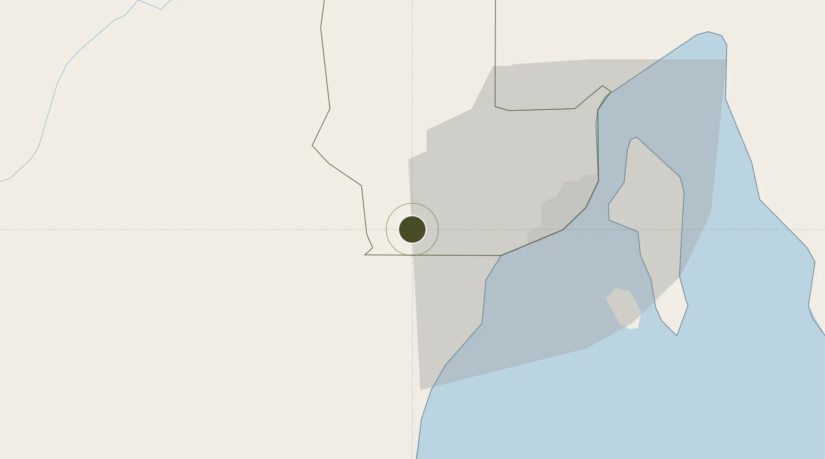
7.0556°, 125.3752°
10 ha
Zone area
26.7 km
Nearest port
30.9 km
Nearest airport
Gateway access
Zone profile
Zone type
Specialized Zone
Specialization
IT
Region
Davao
Status
Active
Management
Private
Operator
Southernpoint Properties Corp.
Legal framework
Special Economic Zone Act (Republic Act No. 7916)
(as amended by Republic Act No. 8748)
Location
Nearby Logistics Neighbours
Ports
- 1Davao27 km
- 2Mati94 km
- 3General Santos107 km
- 4Polloc (Cotabato)132 km
- 5Mangagoy167 km
Airports
- 1Francisco Bangoy International Airport31 km
- 2Central Mindanao Airport52 km
- 3Mati National Airport100 km
- 4Allah Valley Airport103 km
- 5Rajah Buayan Air Base107 km
Cities
- 1Astorga21 km
- 2Davao, Mindanao34 km
- 3Panabo44 km
- 4DICT / SVT44 km
- 5General Santos110 km
Trade Zones
- 1Abreeza Corporate Center1 km
- 2Ayala Business Center3 km
- 3DADC Economic Zone14 km
- 4Matina IT Park23 km
- 5The Annex-SM City Davao IT Center24 km
DatabookThe Record of Consolidated Knowledge
Philippines beyond logistics?