Specialized Zone · Philippines

Ayala Business Center Active
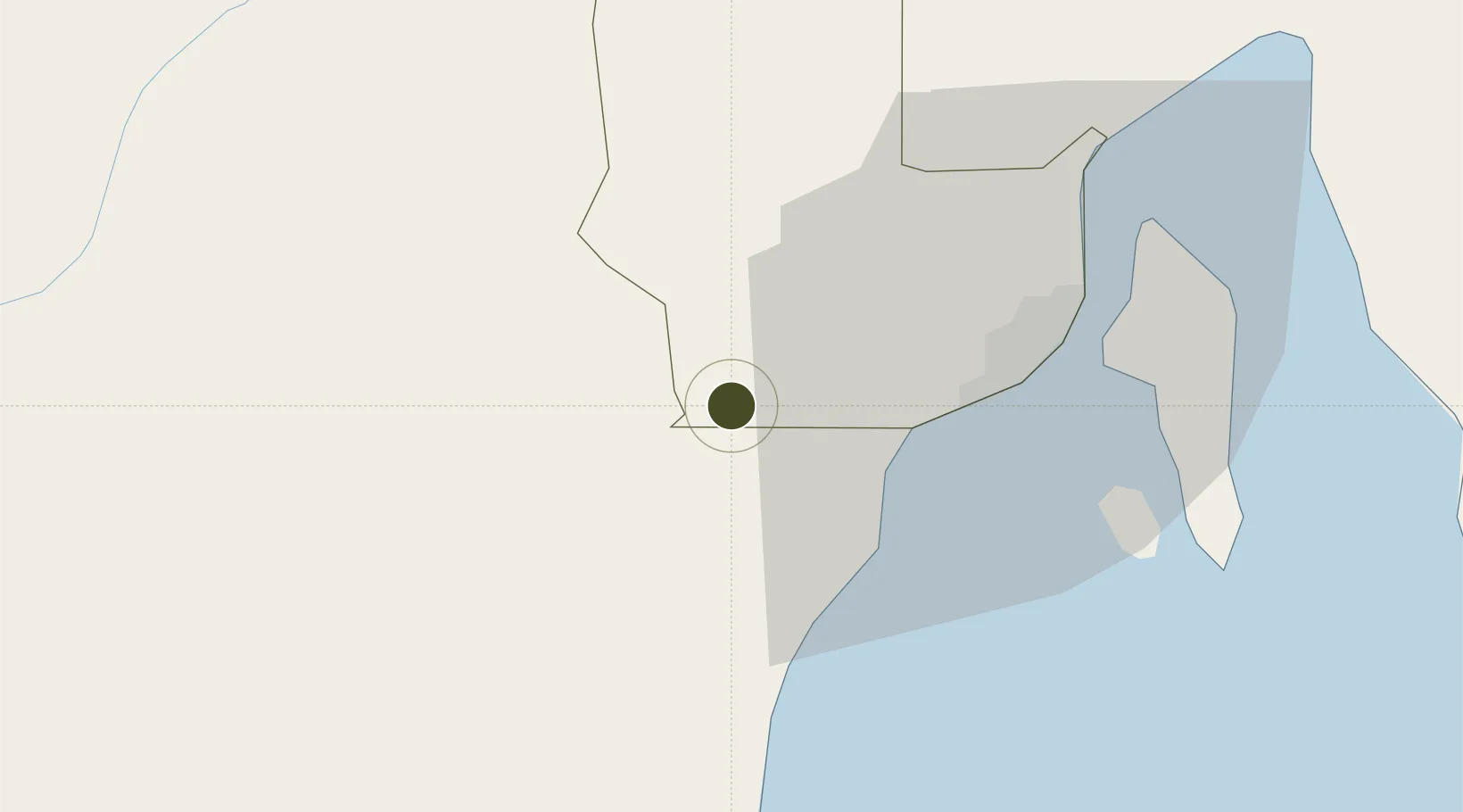
7.0351°, 125.3550°
1 ha
Zone area
29.1 km
Nearest port
33.7 km
Nearest airport

Gateway access

Nearest neighbours — logibook spatial index (haversine) over the source coordinates

Zone profile

Zone type
Specialized Zone
Open Zone Map
Specialization
IT
Open Zone Map
Region
Davao
Open Zone Map
Status
Active
Open Zone Map
Management
Private
Open Zone Map
Operator
JFM Development Corporation
Open Zone Map
Legal framework
Special Economic Zone Act (Republic Act No. 7916) (as amended by Republic Act No. 8748)
Open Zone Map

Location

Location of ozm-3629
Natural Earth 10m (public domain) · Davao · ozm-3629 · 7.04, 125.35GoogleOSMYandex

Nearby Logistics Neighbours

Ports
  1. 1Davao29 km
  2. 2Mati96 km
  3. 3General Santos104 km
  4. 4Polloc (Cotabato)130 km
  5. 5Mangagoy170 km
Nearest neighbours — logibook spatial index (haversine) over the source coordinates
Airports
  1. 1Francisco Bangoy International Airport34 km
  2. 2Central Mindanao Airport49 km
  3. 3Allah Valley Airport100 km
  4. 4Mati National Airport102 km
  5. 5Rajah Buayan Air Base104 km
Nearest neighbours — logibook spatial index (haversine) over the source coordinates
Cities
  1. 1Astorga20 km
  2. 2Davao, Mindanao36 km
  3. 3Panabo47 km
  4. 4DICT / SVT47 km
  5. 5General Santos107 km
Nearest neighbours — logibook spatial index (haversine) over the source coordinates
Trade Zones
  1. 1Abreeza Corporate Center2 km
  2. 2SM Lanang Premier IT Center3 km
  3. 3DADC Economic Zone13 km
  4. 4Astorga Business & Industrial Park23 km
  5. 5Matina IT Park25 km
Nearest neighbours — logibook spatial index (haversine) over the source coordinates
DatabookThe Record of Consolidated Knowledge
Philippines beyond logistics?
Browse databook

All Sources

Trade ZonesOpen Zone Map
CC BY
Portsthe NGA World Port Index
Public domain (US gov)
AirportsOurAirports
Public domain
LocationsUN/LOCODE
UN/LOCODE — free
← Philippines trade zones