Specialized Zone · Philippines

The Annex-SM City Davao IT Center Inactive
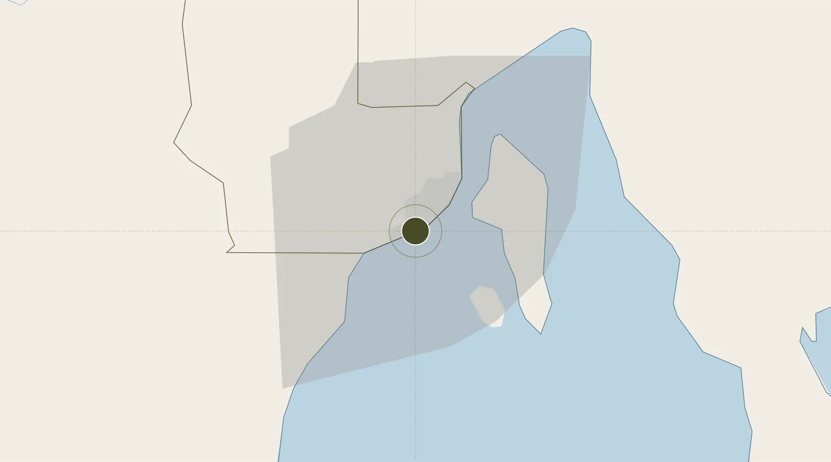
7.0495°, 125.5879°
12 ha
Zone area
3.7 km
Nearest port
10.6 km
Nearest airport

Gateway access

Nearest neighbours — logibook spatial index (haversine) over the source coordinates

Zone profile

Zone type
Specialized Zone
Open Zone Map
Specialization
IT
Open Zone Map
Region
Davao
Open Zone Map
Status
Inactive
Open Zone Map
Management
Private
Open Zone Map
Operator
SM Prime Holdings, Inc.
Open Zone Map
Legal framework
Special Economic Zone Act (Republic Act No. 7916) (as amended by Republic Act No. 8748)
Open Zone Map

Location

Location of ozm-3839
Natural Earth 10m (public domain) · Davao · ozm-3839 · 7.05, 125.59GoogleOSMYandex

Nearby Logistics Neighbours

Ports
  1. 1Davao4 km
  2. 2Mati70 km
  3. 3General Santos113 km
  4. 4Mangagoy154 km
  5. 5Polloc (Cotabato)155 km
Nearest neighbours — logibook spatial index (haversine) over the source coordinates
Airports
  1. 1Francisco Bangoy International Airport11 km
  2. 2Central Mindanao Airport75 km
  3. 3Mati National Airport77 km
  4. 4Rajah Buayan Air Base112 km
  5. 5Allah Valley Airport119 km
Nearest neighbours — logibook spatial index (haversine) over the source coordinates
Cities
  1. 1Davao, Mindanao15 km
  2. 2Astorga24 km
  3. 3DICT / SVT29 km
  4. 4Panabo30 km
  5. 5General Santos117 km
Nearest neighbours — logibook spatial index (haversine) over the source coordinates
Trade Zones
  1. 1Matina IT Park2 km
  2. 2Felcris Centrale2 km
  3. 3C55 Realty Corp. Building4 km
  4. 4Luisa Avenue Square IT Center4 km
  5. 5NCCC Davao IT Center5 km
Nearest neighbours — logibook spatial index (haversine) over the source coordinates
DatabookThe Record of Consolidated Knowledge
Philippines beyond logistics?
Browse databook

All Sources

Trade ZonesOpen Zone Map
CC BY
Portsthe NGA World Port Index
Public domain (US gov)
AirportsOurAirports
Public domain
LocationsUN/LOCODE
UN/LOCODE — free
← Philippines trade zones