Specialized Zone · Philippines

Matina IT Park Active
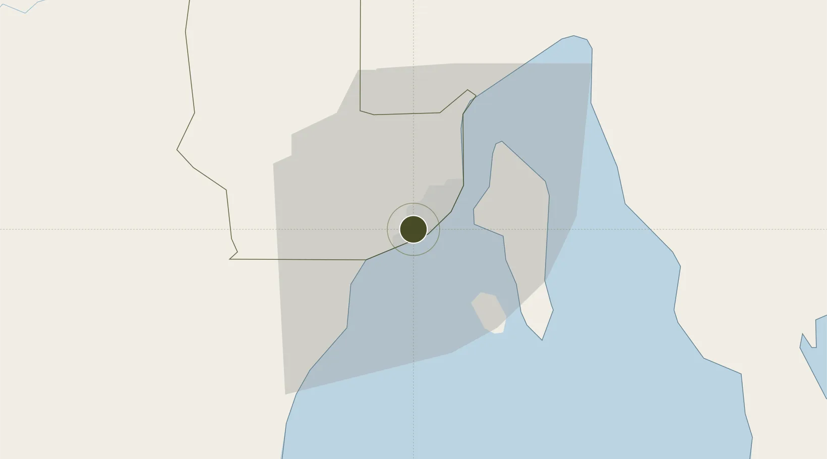
7.0622°, 125.5819°
2 ha
Zone area
3.9 km
Nearest port
10.0 km
Nearest airport

Gateway access

Nearest neighbours — logibook spatial index (haversine) over the source coordinates

Zone profile

Zone type
Specialized Zone
Open Zone Map
Specialization
IT
Open Zone Map
Region
Davao
Open Zone Map
Status
Active
Open Zone Map
Management
Private
Open Zone Map
Operator
Plaza de Luisa Development, Inc.
Open Zone Map
Legal framework
Special Economic Zone Act (Republic Act No. 7916) (as amended by Republic Act No. 8748) Proclamation No. 566, s. 2013
Open Zone Map

Location

Location of ozm-3713
Natural Earth 10m (public domain) · Davao · ozm-3713 · 7.06, 125.58GoogleOSMYandex

Nearby Logistics Neighbours

Ports
  1. 1Davao4 km
  2. 2Mati71 km
  3. 3General Santos114 km
  4. 4Mangagoy153 km
  5. 5Polloc (Cotabato)154 km
Nearest neighbours — logibook spatial index (haversine) over the source coordinates
Airports
  1. 1Francisco Bangoy International Airport10 km
  2. 2Central Mindanao Airport75 km
  3. 3Mati National Airport77 km
  4. 4Rajah Buayan Air Base113 km
  5. 5Allah Valley Airport120 km
Nearest neighbours — logibook spatial index (haversine) over the source coordinates
Cities
  1. 1Davao, Mindanao14 km
  2. 2Astorga25 km
  3. 3DICT / SVT28 km
  4. 4Panabo29 km
  5. 5General Santos118 km
Nearest neighbours — logibook spatial index (haversine) over the source coordinates
Trade Zones
  1. 1The Annex-SM City Davao IT Center2 km
  2. 2Felcris Centrale3 km
  3. 3Luisa Avenue Square IT Center4 km
  4. 4C55 Realty Corp. Building4 km
  5. 5ACI IT Business Centre4 km
Nearest neighbours — logibook spatial index (haversine) over the source coordinates
DatabookThe Record of Consolidated Knowledge
Philippines beyond logistics?
Browse databook

All Sources

Trade ZonesOpen Zone Map
CC BY
Portsthe NGA World Port Index
Public domain (US gov)
AirportsOurAirports
Public domain
LocationsUN/LOCODE
UN/LOCODE — free
← Philippines trade zones