Transport Functions
Port
Road
Hub Profile
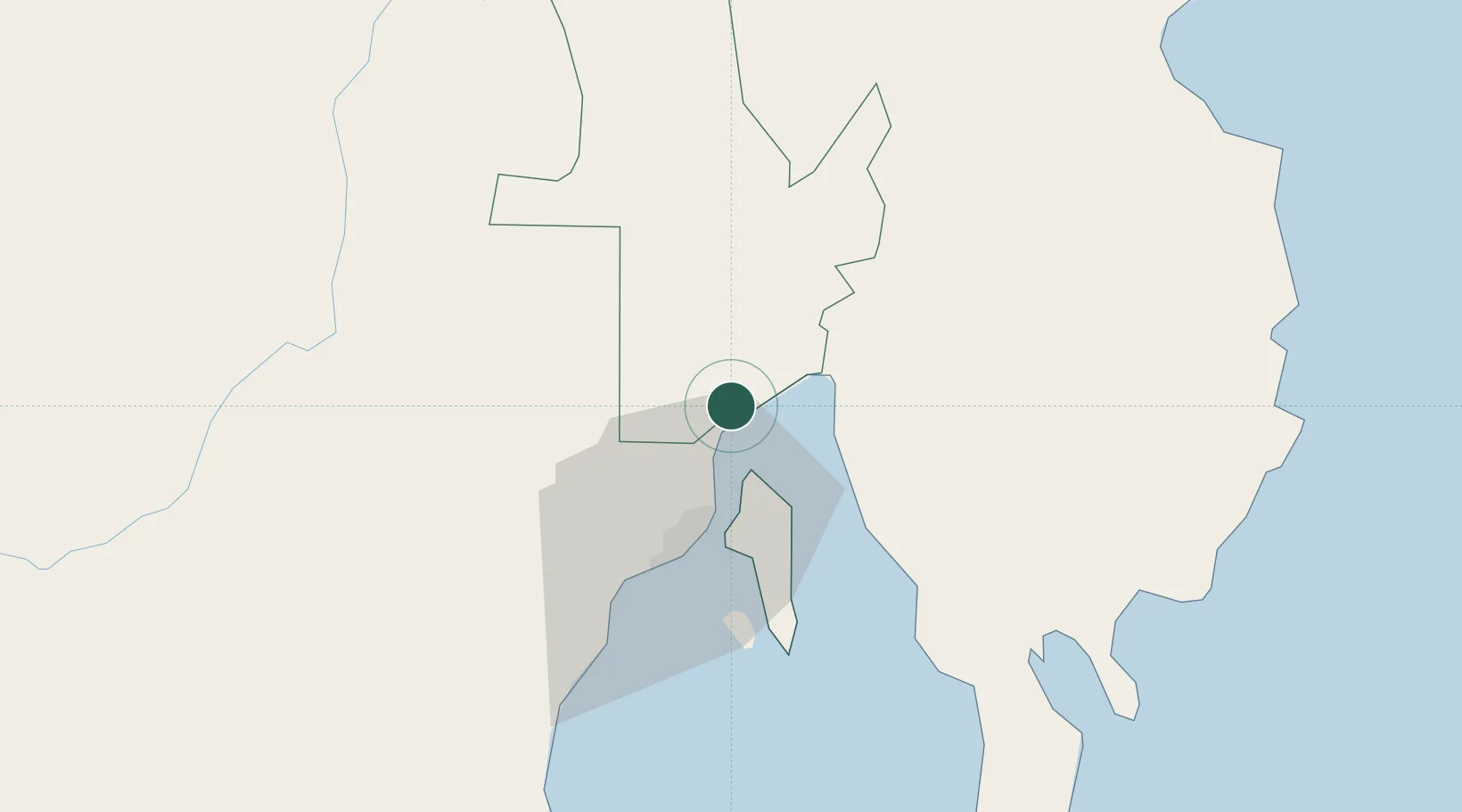
Place type
Populated place
Region
Davao Region
Population
211,242
Time zone
Asia/Manila
Elevation
4 m
Location
Nearby Logistics Neighbours
Cities
- 1DICT / SVT3 km
- 2Davao, Mindanao16 km
- 3Astorga53 km
- 4Boston/Davao97 km
- 5General Santos147 km
Ports
- 1Davao27 km
- 2Mati71 km
- 3Mangagoy125 km
- 4Hinatuan139 km
- 5General Santos143 km
Airports
- 1Francisco Bangoy International Airport20 km
- 2Mati National Airport76 km
- 3Central Mindanao Airport94 km
- 4Bislig Airport122 km
- 5Rajah Buayan Air Base142 km
DatabookThe Record of Consolidated Knowledge
Philippines beyond logistics?