Diversified Zone · China

Nanhe Economic Development Zone Active
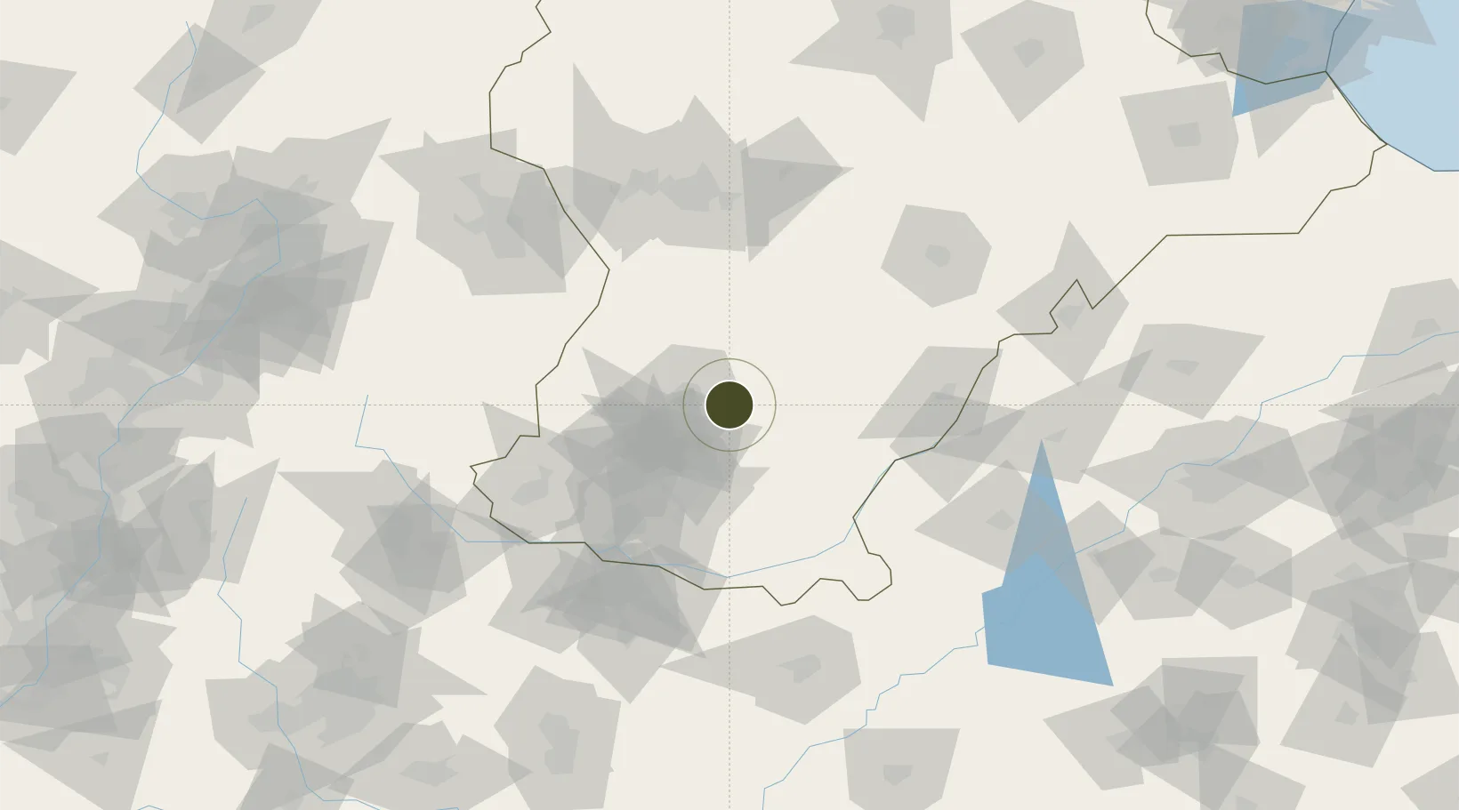
37.0196°, 114.6830°
212 ha
Zone area
350.8 km
Nearest port
59.7 km
Nearest airport

Gateway access

Nearest neighbours — logibook spatial index (haversine) over the source coordinates

Zone profile

Zone type
Diversified Zone
Open Zone Map
Region
Hebei
Open Zone Map
Status
Active
Open Zone Map
Management
Public
Open Zone Map
Operator
Nanhe Economic Development Management Committee
Open Zone Map
Legal framework
Founded in September 2002, it was named "provincial Economic development Zone" by the provincial government in July 2011
Open Zone Map

Location

Location of ozm-370
Natural Earth 10m (public domain) · Hebei · ozm-370 · 37.02, 114.68GoogleOSMYandex

Nearby Logistics Neighbours

Ports
  1. 1Tianjin Xin Gang351 km
  2. 2Tangshan (Jingtang)450 km
  3. 3Lanshan473 km
  4. 4Rizhao474 km
  5. 5Lianyungang499 km
Nearest neighbours — logibook spatial index (haversine) over the source coordinates
Airports
  1. 1Handan Airport60 km
  2. 2Anyang Hongqiqu Airport129 km
  3. 3Jiugucheng Air Base137 km
  4. 4Shijiazhuang Zhengding International Airport140 km
  5. 5Changzhi Wangcun Airport163 km
Nearest neighbours — logibook spatial index (haversine) over the source coordinates
Cities
  1. 1Liaocheng96 km
  2. 2Xinji108 km
  3. 3Shijiazhuang114 km
  4. 4Hebi146 km
  5. 5Dezhou149 km
Nearest neighbours — logibook spatial index (haversine) over the source coordinates
Trade Zones
  1. 1Ren County Economic Development Zone11 km
  2. 2Xingtai Economic Development Zone11 km
  3. 3Hebei Jize Economic Development Zone23 km
  4. 4Yongnian Industrial Park29 km
  5. 5Fuyang High-tech Industrial Development Zone32 km
Nearest neighbours — logibook spatial index (haversine) over the source coordinates
DatabookThe Record of Consolidated Knowledge
China beyond logistics?
Browse databook

All Sources

Trade ZonesOpen Zone Map
CC BY
Portsthe NGA World Port Index
Public domain (US gov)
AirportsOurAirports
Public domain
LocationsUN/LOCODE
UN/LOCODE — free
← China trade zones