Diversified Zone · China

Yongnian Industrial Park Active
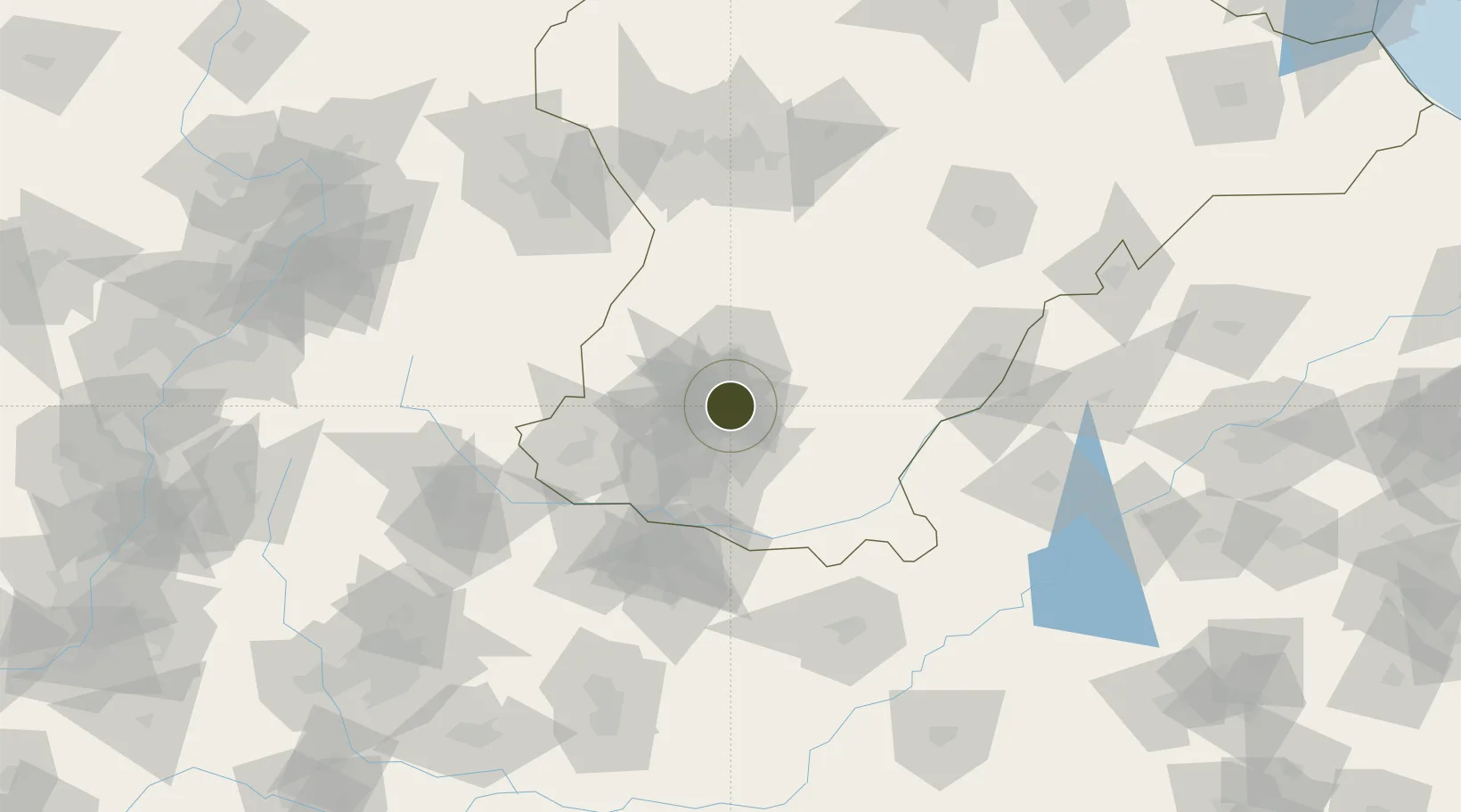
36.8266°, 114.4703°
354 ha
Zone area
379.0 km
Nearest port
33.8 km
Nearest airport

Gateway access

Nearest neighbours — logibook spatial index (haversine) over the source coordinates

Zone profile

Zone type
Diversified Zone
Open Zone Map
Region
Hebei
Open Zone Map
Status
Active
Open Zone Map
Management
Public
Open Zone Map
Operator
Hebei Yongnian Industrial Park Management Committee
Open Zone Map
Legal framework
Unavailable
Open Zone Map

Location

Location of ozm-441
Natural Earth 10m (public domain) · Hebei · ozm-441 · 36.83, 114.47GoogleOSMYandex

Nearby Logistics Neighbours

Ports
  1. 1Tianjin Xin Gang379 km
  2. 2Tangshan (Jingtang)478 km
  3. 3Lanshan482 km
  4. 4Rizhao485 km
  5. 5Lianyungang506 km
Nearest neighbours — logibook spatial index (haversine) over the source coordinates
Airports
  1. 1Handan Airport34 km
  2. 2Anyang Hongqiqu Airport106 km
  3. 3Changzhi Wangcun Airport136 km
  4. 4Shijiazhuang Zhengding International Airport163 km
  5. 5Jiugucheng Air Base164 km
Nearest neighbours — logibook spatial index (haversine) over the source coordinates
Cities
  1. 1Liaocheng113 km
  2. 2Hebi121 km
  3. 3Puyang134 km
  4. 4Shijiazhuang134 km
  5. 5Xinji136 km
Nearest neighbours — logibook spatial index (haversine) over the source coordinates
Trade Zones
  1. 1Daming Economic Development Zone19 km
  2. 2Wuan Industrial Park25 km
  3. 3Xingtai Economic Development Zone28 km
  4. 4Handan Industrial Park29 km
  5. 5Nanhe Economic Development Zone29 km
Nearest neighbours — logibook spatial index (haversine) over the source coordinates
DatabookThe Record of Consolidated Knowledge
China beyond logistics?
Browse databook

All Sources

Trade ZonesOpen Zone Map
CC BY
Portsthe NGA World Port Index
Public domain (US gov)
AirportsOurAirports
Public domain
LocationsUN/LOCODE
UN/LOCODE — free
← China trade zones