Small airport · China

Changzhi Wangcun AirportZBCZ
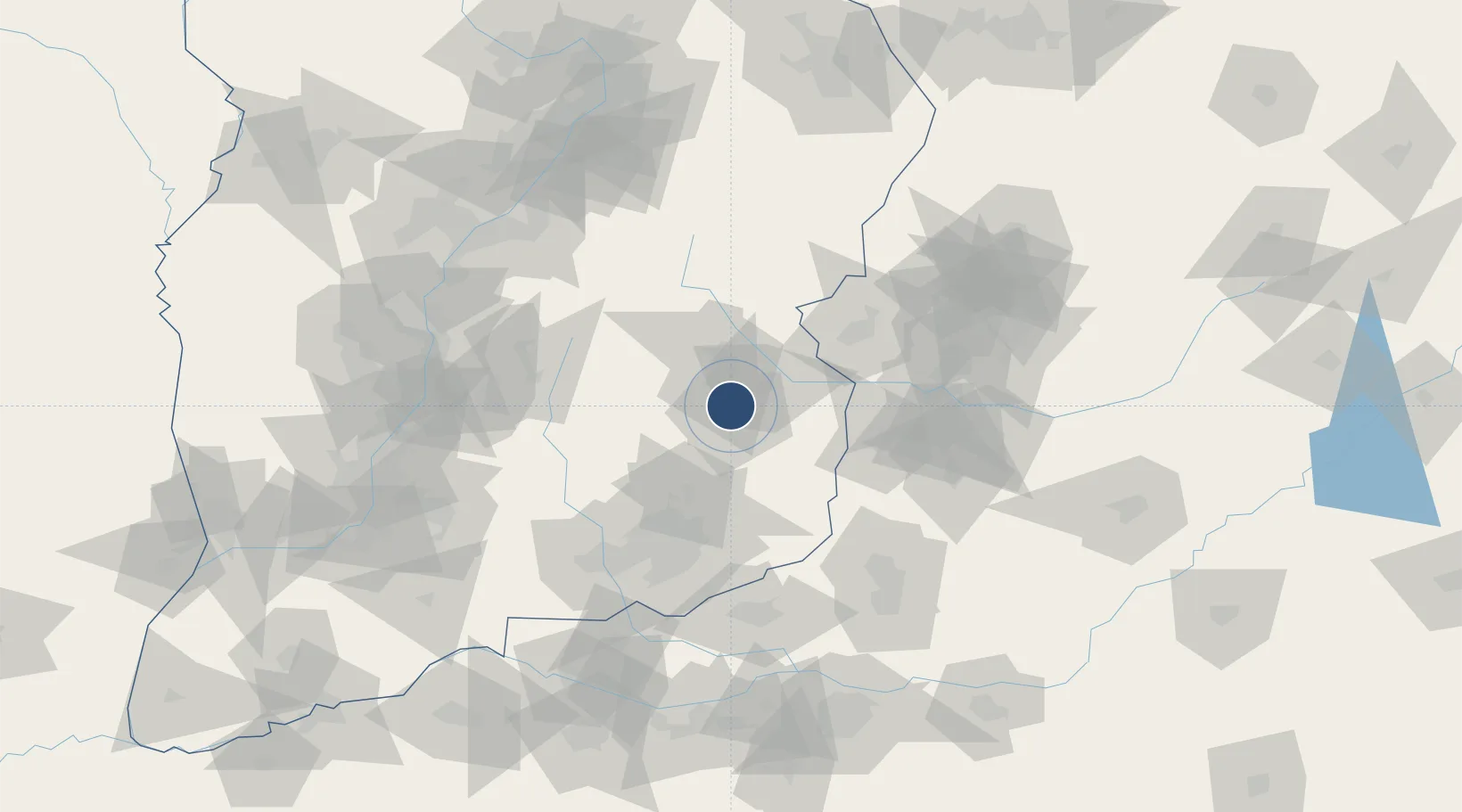
36.2475°, 113.1260°
8,530 ft
Longest runway
1
Runways

Runway & Layout

Changzhi Wangcun Airport runway & taxiway layout
Runway & taxiway layout — OpenStreetMap (ODbL) / OurAirports

Runways · 1

RunwayDimensions SurfaceTrue headingLit
01/19 8,530 × —ft Concrete
OurAirports

Airport Specifications

IATA code
CIH
OurAirports
ICAO code
ZBCZ
OurAirports
Airport class
Small airport
OurAirports
Scheduled service
Yes
OurAirports
Runway surface
Concrete
OurAirports
Served city
Changzhi
OurAirports

Location

Location of ZBCZ
Natural Earth 10m (public domain) · Shanxi · ZBCZ · 36.25, 113.13GoogleOSMYandex

Nearby Logistics Neighbours

Airports
  1. 1Handan Airport120 km
  2. 2Anyang Hongqiqu Airport127 km
  3. 3Linfen Yaodu Airport134 km
  4. 4Zhengzhou Air Base164 km
  5. 5Wenshui Air Base165 km
Nearest neighbours — logibook spatial index (haversine) over the source coordinates
Cities
  1. 1Jincheng89 km
  2. 2Jiaozuo111 km
  3. 3Hebi118 km
  4. 4Dazhaoying123 km
  5. 5Xinxiang125 km
Nearest neighbours — logibook spatial index (haversine) over the source coordinates
Ports
  1. 1Tianjin Xin Gang513 km
  2. 2Lanshan578 km
  3. 3Rizhao589 km
  4. 4Lianyungang597 km
  5. 5Tangshan (Jingtang)613 km
Nearest neighbours — logibook spatial index (haversine) over the source coordinates
Trade Zones
  1. 1Huguan Economic Development Zone15 km
  2. 2Baoshan Circular Economy Industry Cluster Area102 km
  3. 3Huixian City Industrial Cluster Area103 km
  4. 4Anyang City Industrial Cluster108 km
  5. 5Wuan Industrial Park112 km
Nearest neighbours — logibook spatial index (haversine) over the source coordinates
DatabookThe Record of Consolidated Knowledge
China beyond logistics?
Browse databook

All Sources

AirportsOurAirports
Public domain
Portsthe NGA World Port Index
Public domain (US gov)
LocationsUN/LOCODE
UN/LOCODE — free
Trade Zonesthe World Bank SEZ database
CC BY 4.0
Trade ZonesOpen Zone Map
CC BY
InfrastructureOpenStreetMap
ODbL 1.0
← China airports