Export Processing Zone · China

Hebei Jize Economic Development Zone Active
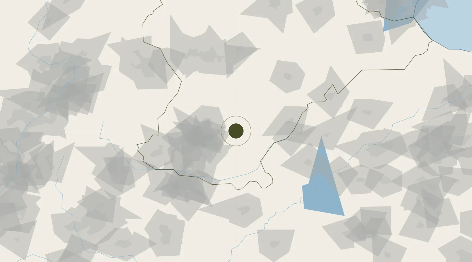
36.9298°, 114.9138°
741 ha
Zone area
341.8 km
Nearest port
62.7 km
Nearest airport

Gateway access

Nearest neighbours — logibook spatial index (haversine) over the source coordinates

Zone profile

Zone type
Export Processing Zone
Open Zone Map
Region
Hebei
Open Zone Map
Status
Active
Open Zone Map
Management
Public
Open Zone Map
Operator
Working Committee of Hebei Jize Economic Development Zone
Open Zone Map
Legal framework
Overall Plan of Hebei Jize Economic Development Zone (2017-2035)
Open Zone Map

Location

Location of ozm-1212
Natural Earth 10m (public domain) · Hebei · ozm-1212 · 36.93, 114.91GoogleOSMYandex

Nearby Logistics Neighbours

Ports
  1. 1Tianjin Xin Gang342 km
  2. 2Tangshan (Jingtang)439 km
  3. 3Lanshan450 km
  4. 4Rizhao452 km
  5. 5Lianyungang476 km
Nearest neighbours — logibook spatial index (haversine) over the source coordinates
Airports
  1. 1Handan Airport63 km
  2. 2Jiugucheng Air Base124 km
  3. 3Anyang Hongqiqu Airport125 km
  4. 4Shijiazhuang Zhengding International Airport151 km
  5. 5Changzhi Wangcun Airport177 km
Nearest neighbours — logibook spatial index (haversine) over the source coordinates
Cities
  1. 1Liaocheng74 km
  2. 2Xinji111 km
  3. 3Shijiazhuang128 km
  4. 4Dezhou134 km
  5. 5Zhangqiu136 km
Nearest neighbours — logibook spatial index (haversine) over the source coordinates
Trade Zones
  1. 1Pingxiang High-tech Industrial Development Zone18 km
  2. 2Nanhe Economic Development Zone23 km
  3. 3Qiuxian Economic Development Zone26 km
  4. 4Ren County Economic Development Zone31 km
  5. 5Xingtai Economic Development Zone34 km
Nearest neighbours — logibook spatial index (haversine) over the source coordinates
DatabookThe Record of Consolidated Knowledge
China beyond logistics?
Browse databook

All Sources

Trade ZonesOpen Zone Map
CC BY
Portsthe NGA World Port Index
Public domain (US gov)
AirportsOurAirports
Public domain
LocationsUN/LOCODE
UN/LOCODE — free
← China trade zones