Transport Functions
Rail
Road
Multimodal
Hub Profile
Place type
Provincial seat
Region
Henan
Population
634,721
Time zone
Asia/Shanghai
Elevation
84 m
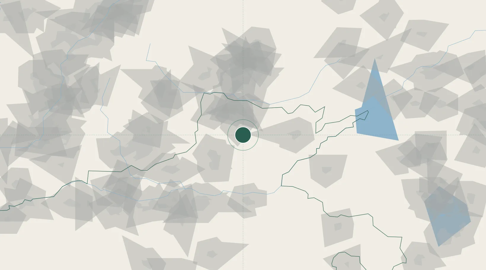
Location
Nearby Logistics Neighbours
Cities
- 1Xinxiang63 km
- 2Puyang65 km
- 3Dazhaoying71 km
- 4Kaifeng108 km
- 5Jiaozuo117 km
Ports
- 1Lanshan467 km
- 2Tianjin Xin Gang476 km
- 3Rizhao480 km
- 4Lianyungang483 km
- 5Qingdao Gang540 km
Airports
- 1Anyang Hongqiqu Airport21 km
- 2Handan Airport87 km
- 3Zhengzhou Air Base111 km
- 4Kaifeng Air Base111 km
- 5Changzhi Wangcun Airport118 km
DatabookThe Record of Consolidated Knowledge
China beyond logistics?