Diversified Zone · China

Fuyang High-tech Industrial Development Zone Active
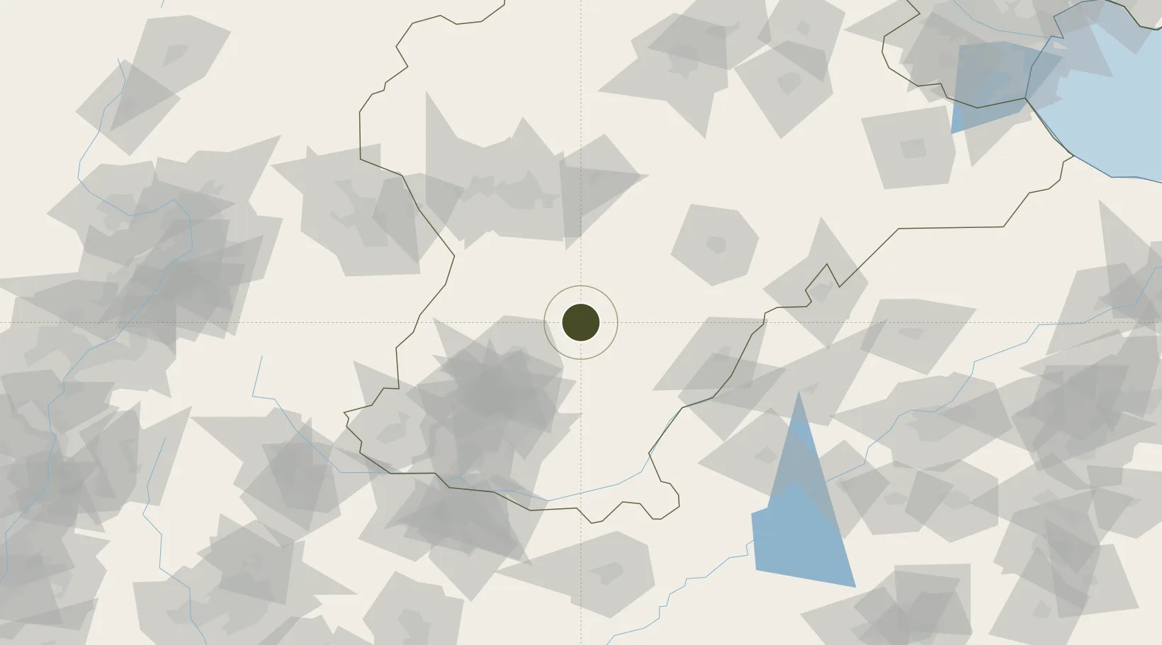
37.2676°, 114.8675°
691 ha
Zone area
320.9 km
Nearest port
91.5 km
Nearest airport

Gateway access

Nearest neighbours — logibook spatial index (haversine) over the source coordinates

Zone profile

Zone type
Diversified Zone
Open Zone Map
Region
Hebei
Open Zone Map
Status
Active
Open Zone Map
Management
Public
Open Zone Map
Operator
Management Committee of Xingtai High-tech Industrial Development Zone
Open Zone Map
Legal framework
Unavailable
Open Zone Map

Location

Location of ozm-592
Natural Earth 10m (public domain) · Hebei · ozm-592 · 37.27, 114.87GoogleOSMYandex

Nearby Logistics Neighbours

Ports
  1. 1Tianjin Xin Gang321 km
  2. 2Tangshan (Jingtang)421 km
  3. 3Rizhao470 km
  4. 4Lanshan471 km
  5. 5Longkou Gang480 km
Nearest neighbours — logibook spatial index (haversine) over the source coordinates
Airports
  1. 1Handan Airport92 km
  2. 2Jiugucheng Air Base113 km
  3. 3Shijiazhuang Zhengding International Airport114 km
  4. 4Anyang Hongqiqu Airport160 km
  5. 5Changzhi Wangcun Airport192 km
Nearest neighbours — logibook spatial index (haversine) over the source coordinates
Cities
  1. 1Xinji76 km
  2. 2Liaocheng91 km
  3. 3Shijiazhuang91 km
  4. 4Dezhou127 km
  5. 5Zhangqiu167 km
Nearest neighbours — logibook spatial index (haversine) over the source coordinates
Trade Zones
  1. 1Julu Economic Development Zone15 km
  2. 2Ren County Economic Development Zone26 km
  3. 3Nanhe Economic Development Zone32 km
  4. 4Xingtai Economic Development Zone34 km
  5. 5Lincheng Economic Development Zone35 km
Nearest neighbours — logibook spatial index (haversine) over the source coordinates
DatabookThe Record of Consolidated Knowledge
China beyond logistics?
Browse databook

All Sources

Trade ZonesOpen Zone Map
CC BY
Portsthe NGA World Port Index
Public domain (US gov)
AirportsOurAirports
Public domain
LocationsUN/LOCODE
UN/LOCODE — free
← China trade zones