Diversified Zone · China

Xinjiang Heshuo Economic Development Zone Active
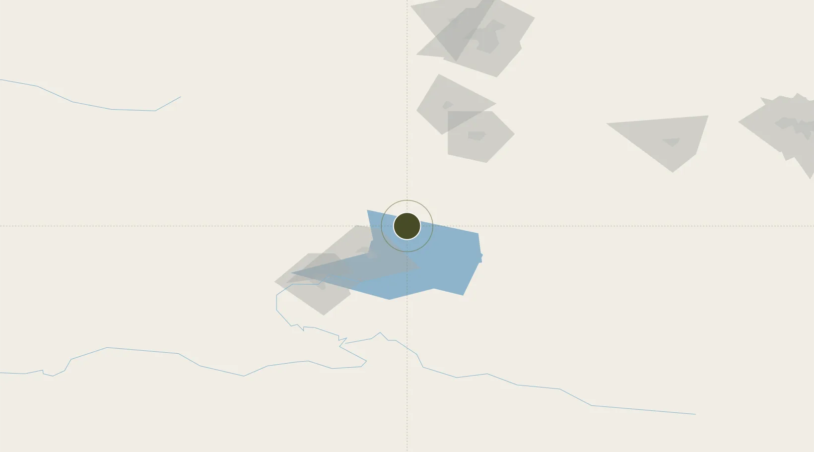
42.2535°, 86.9044°
133 ha
Zone area
2,194.9 km
Nearest port
24.7 km
Nearest airport

Gateway access

Nearest neighbours — logibook spatial index (haversine) over the source coordinates

Zone profile

Zone type
Diversified Zone
Open Zone Map
Region
Xinjiang
Open Zone Map
Status
Active
Open Zone Map
Management
Public
Open Zone Map
Operator
Management Committee of Xinjiang Heshuo Economic Development Zone
Open Zone Map
Legal framework
Established in 1996
Open Zone Map

Location

Location of ozm-339
Natural Earth 10m (public domain) · Xinjiang · ozm-339 · 42.25, 86.90GoogleOSMYandex

Nearby Logistics Neighbours

Ports
  1. 1Calcutta2195 km
  2. 2Mongla2214 km
  3. 3Haldia Port2253 km
  4. 4Chittagong2263 km
  5. 5Dhamra2384 km
Nearest neighbours — logibook spatial index (haversine) over the source coordinates
Airports
  1. 1Uxxaktal Air Base25 km
  2. 2Korla Licheng Airport95 km
  3. 3Ürümqi South Air Base144 km
  4. 4Ürümqi Changji Air Base189 km
  5. 5Ürümqi Tianshan International Airport190 km
Nearest neighbours — logibook spatial index (haversine) over the source coordinates
Cities
  1. 1Urumqi176 km
  2. 2Urumqi International Lugang183 km
  3. 3Manas234 km
  4. 4Shanshan276 km
  5. 5Dushanzi285 km
Nearest neighbours — logibook spatial index (haversine) over the source coordinates
Trade Zones
  1. 1Hejing Industrial Park45 km
  2. 2Toksun Energy Heavy Chemical Industrial Park151 km
  3. 3Urumqi Export Processing Zone185 km
  4. 4Corps Urumqi Industrial Park190 km
  5. 5Shuimogou Industrial Park192 km
Nearest neighbours — logibook spatial index (haversine) over the source coordinates
DatabookThe Record of Consolidated Knowledge
China beyond logistics?
Browse databook

All Sources

Trade ZonesOpen Zone Map
CC BY
Portsthe NGA World Port Index
Public domain (US gov)
AirportsOurAirports
Public domain
LocationsUN/LOCODE
UN/LOCODE — free
← China trade zones