Medium airport · China

Korla Licheng AirportZWKL
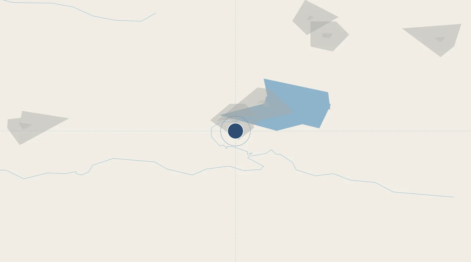
41.6150°, 86.1408°
9,121 ft
Longest runway
1
Runways
3,041 ft
Elevation

Runway & Layout

Korla Licheng Airport runway & taxiway layout
Runway & taxiway layout — OpenStreetMap (ODbL) / OurAirports

Runways · 1

RunwayDimensions SurfaceTrue headingLit
04/22 9,121 × 148ft
OurAirports

Airport Specifications

IATA code
KRL
OurAirports
ICAO code
ZWKL
OurAirports
Airport class
Medium airport
OurAirports
Scheduled service
Yes
OurAirports
Served city
Korla
OurAirports

Location

Location of ZWKL
Natural Earth 10m (public domain) · Xinjiang · ZWKL · 41.61, 86.14GoogleOSMYandex

Nearby Logistics Neighbours

Airports
  1. 1Uxxaktal Air Base107 km
  2. 2Hejing Bayinbuluke Airport233 km
  3. 3Ürümqi South Air Base235 km
  4. 4Ürümqi Changji Air Base271 km
  5. 5Kuqa Qiuci Airport272 km
Nearest neighbours — logibook spatial index (haversine) over the source coordinates
Cities
  1. 1Urumqi266 km
  2. 2Urumqi International Lugang272 km
  3. 3Manas299 km
  4. 4Dushanzi320 km
  5. 5Shanshan359 km
Nearest neighbours — logibook spatial index (haversine) over the source coordinates
Ports
  1. 1Calcutta2130 km
  2. 2Mongla2154 km
  3. 3Haldia Port2187 km
  4. 4Chittagong2210 km
  5. 5Dhamra2314 km
Nearest neighbours — logibook spatial index (haversine) over the source coordinates
Trade Zones
  1. 1Hejing Industrial Park84 km
  2. 2Xinjiang Heshuo Economic Development Zone95 km
  3. 3Toksun Energy Heavy Chemical Industrial Park240 km
  4. 4Urumqi Export Processing Zone273 km
  5. 5Corps Urumqi Industrial Park277 km
Nearest neighbours — logibook spatial index (haversine) over the source coordinates
DatabookThe Record of Consolidated Knowledge
China beyond logistics?
Browse databook

All Sources

AirportsOurAirports
Public domain
Portsthe NGA World Port Index
Public domain (US gov)
LocationsUN/LOCODE
UN/LOCODE — free
Trade Zonesthe World Bank SEZ database
CC BY 4.0
Trade ZonesOpen Zone Map
CC BY
InfrastructureOpenStreetMap
ODbL 1.0
← China airports