Transport Functions
Port
Road
Airport
Hub Profile
Place type
District seat
Region
Xinjiang
Time zone
Asia/Urumqi
Elevation
367 m
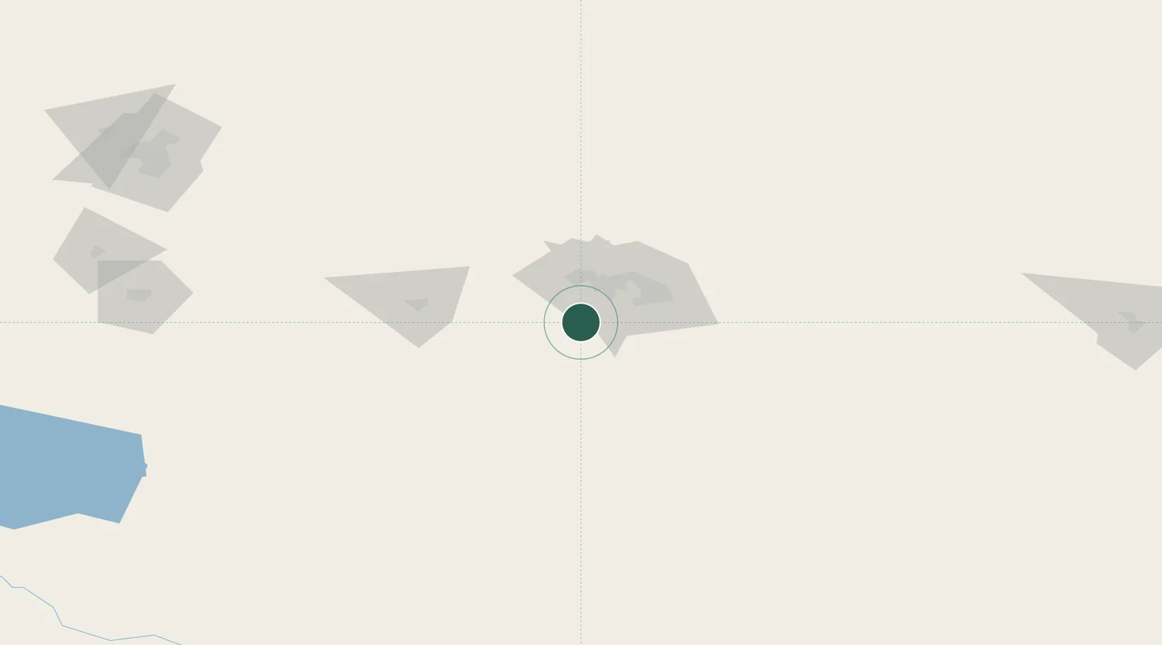
Location
Nearby Logistics Neighbours
Cities
- 1Chatfield195 km
- 2Urumqi230 km
- 3Urumqi International Lugang233 km
- 4Manas356 km
- 5Dushanzi458 km
Ports
- 1Calcutta2266 km
- 2Mongla2269 km
- 3Chittagong2290 km
- 4Haldia Port2326 km
- 5Dhamra2470 km
Airports
- 1Shanshan Airport8 km
- 2Turpan Jiaohe Airport89 km
- 3Qitai Jiangbulake Airport153 km
- 4Yaerbashi Test Range216 km
- 5Ürümqi South Air Base224 km
Trade Zones
DatabookThe Record of Consolidated Knowledge
China beyond logistics?