Diversified Zone · China

Corps Urumqi Industrial Park Active
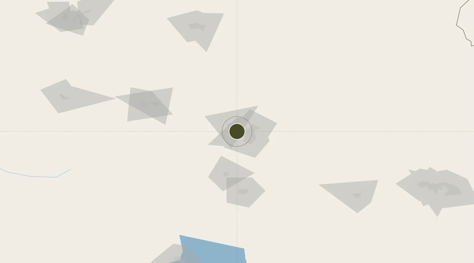
43.9218°, 87.4111°
460 ha
Zone area
2,377.9 km
Nearest port
5.5 km
Nearest airport

Gateway access

Nearest neighbours — logibook spatial index (haversine) over the source coordinates

Zone profile

Zone type
Diversified Zone
Open Zone Map
Region
Xinjiang
Open Zone Map
Status
Active
Open Zone Map
Management
Public
Open Zone Map
Operator
Corps Urumqi Industrial Park Management Committee
Open Zone Map
Legal framework
Approved in November 2017
Open Zone Map

Location

Location of ozm-500
Natural Earth 10m (public domain) · Xinjiang · ozm-500 · 43.92, 87.41GoogleOSMYandex

Nearby Logistics Neighbours

Ports
  1. 1Calcutta2378 km
  2. 2Mongla2394 km
  3. 3Chittagong2436 km
  4. 4Haldia Port2437 km
  5. 5Dhamra2570 km
Nearest neighbours — logibook spatial index (haversine) over the source coordinates
Airports
  1. 1Ürümqi Tianshan International Airport6 km
  2. 2Ürümqi Changji Air Base27 km
  3. 3Ürümqi South Air Base52 km
  4. 4Shihezi Huayuan Airport127 km
  5. 5Turpan Jiaohe Airport168 km
Nearest neighbours — logibook spatial index (haversine) over the source coordinates
Cities
  1. 1Urumqi International Lugang19 km
  2. 2Urumqi24 km
  3. 3Manas104 km
  4. 4Dushanzi210 km
  5. 5Shanshan252 km
Nearest neighbours — logibook spatial index (haversine) over the source coordinates
Trade Zones
  1. 1Urumqi Export Processing Zone12 km
  2. 2Shuimogou Industrial Park22 km
  3. 3Zhundong Industrial Park of Xinjiang Corps57 km
  4. 4Xinjiang Fukang Industrial Park70 km
  5. 5Shihezi New Chemical Material Industrial Park113 km
Nearest neighbours — logibook spatial index (haversine) over the source coordinates
DatabookThe Record of Consolidated Knowledge
China beyond logistics?
Browse databook

All Sources

Trade ZonesOpen Zone Map
CC BY
Portsthe NGA World Port Index
Public domain (US gov)
AirportsOurAirports
Public domain
LocationsUN/LOCODE
UN/LOCODE — free
← China trade zones