Runway & Layout

Airport Specifications
ICAO code
ZWML
Airport class
Medium airport
Scheduled service
No
Served city
Hoxud, Bayingolin
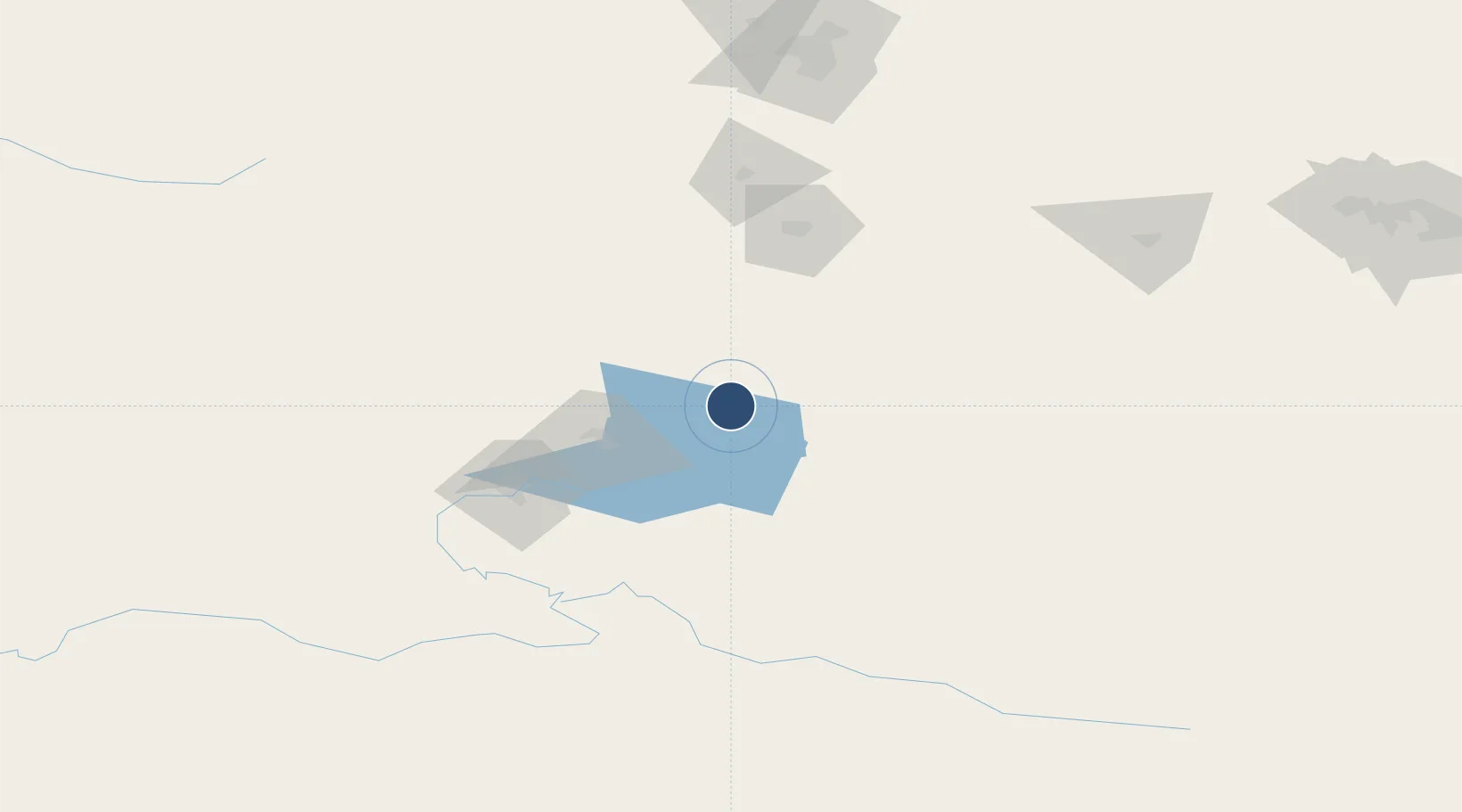
Location
Nearby Logistics Neighbours
Airports
- 1Korla Licheng Airport107 km
- 2Ürümqi South Air Base146 km
- 3Turpan Jiaohe Airport183 km
- 4Ürümqi Tianshan International Airport194 km
- 5Ürümqi Changji Air Base197 km
Cities
- 1Urumqi178 km
- 2Urumqi International Lugang185 km
- 3Manas248 km
- 4Shanshan256 km
- 5Dushanzi305 km
Ports
- 1Calcutta2186 km
- 2Mongla2204 km
- 3Haldia Port2244 km
- 4Chittagong2250 km
- 5Dhamra2376 km
Trade Zones
DatabookThe Record of Consolidated Knowledge
China beyond logistics?