Runway & Layout

Airport Specifications
Airport class
Medium airport
Scheduled service
No
Served city
Ürümqi
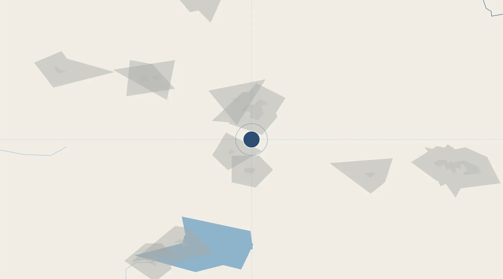
Location
Nearby Logistics Neighbours
Airports
- 1Ürümqi Tianshan International Airport50 km
- 2Ürümqi Changji Air Base65 km
- 3Turpan Jiaohe Airport136 km
- 4Uxxaktal Air Base146 km
- 5Shihezi Huayuan Airport157 km
Cities
- 1Urumqi32 km
- 2Urumqi International Lugang39 km
- 3Manas140 km
- 4Shanshan224 km
- 5Dushanzi235 km
Ports
- 1Calcutta2327 km
- 2Mongla2343 km
- 3Chittagong2385 km
- 4Haldia Port2386 km
- 5Dhamra2519 km
Trade Zones
DatabookThe Record of Consolidated Knowledge
China beyond logistics?