Transport Functions
Rail
Road
Multimodal
Postal
Hub Profile
Region
XJ
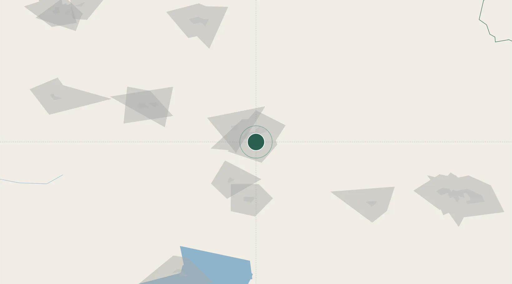
Location
Nearby Logistics Neighbours
Ports
- 1Calcutta2366 km
- 2Mongla2381 km
- 3Chittagong2422 km
- 4Haldia Port2425 km
- 5Dhamra2558 km
Airports
- 1Ürümqi Tianshan International Airport15 km
- 2Ürümqi South Air Base39 km
- 3Ürümqi Changji Air Base44 km
- 4Shihezi Huayuan Airport145 km
- 5Turpan Jiaohe Airport149 km
Trade Zones
DatabookThe Record of Consolidated Knowledge
China beyond logistics?