Large airport · China
Ürümqi Tianshan International AirportZWWW
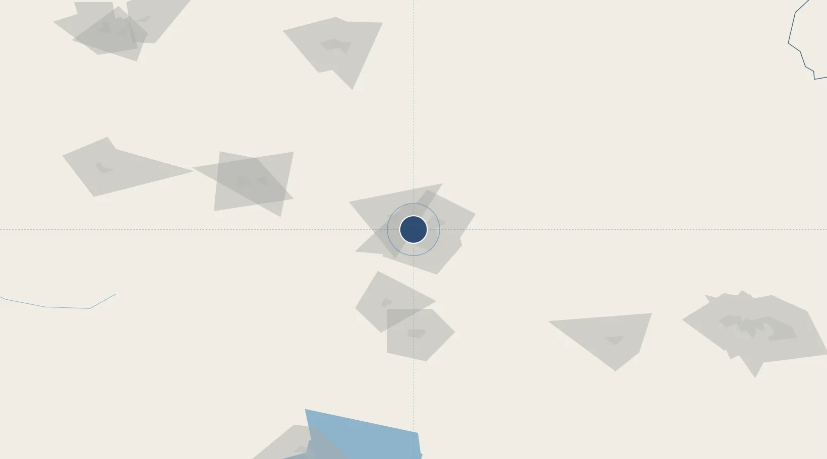
43.9136°, 87.4794°
11,811 ft
Longest runway
3
Runways
2,125 ft
Elevation
Runway & Layout

Radio Frequencies
ATIS
126.7 MHz
TWR
118.1 MHz
GND
121.65 MHz
Navaids
FK NDB Fukang 369 kHz
FKG VOR-DME Fukang 116.30 MHz
URC VOR-DME Urumqi 115.70 MHz
Runways · 3
| Runway | Dimensions | Surface | True heading | Lit |
|---|---|---|---|---|
| 07/25 | 11,811 × 148ft | Asphalt | 074° | ✓ |
| 08R/26L | 11,811 × 198ft | Asphalt / concrete | — | ✓ |
| 08L/26R | 10,498 × 198ft | Asphalt / concrete | — | ✓ |
Airport Specifications
IATA code
URC
ICAO code
ZWWW
Airport class
Large airport
Scheduled service
Yes
Runway surface
Asphalt
Served city
Ürümqi
Location
Nearby Logistics Neighbours
Airports
- 1Ürümqi Changji Air Base32 km
- 2Ürümqi South Air Base50 km
- 3Shihezi Huayuan Airport132 km
- 4Turpan Jiaohe Airport163 km
- 5Qitai Jiangbulake Airport168 km
Cities
- 1Urumqi International Lugang15 km
- 2Urumqi21 km
- 3Manas110 km
- 4Dushanzi215 km
- 5Shanshan246 km
Ports
- 1Calcutta2377 km
- 2Mongla2393 km
- 3Chittagong2434 km
- 4Haldia Port2436 km
- 5Dhamra2569 km
Trade Zones
DatabookThe Record of Consolidated Knowledge
China beyond logistics?