Transport Functions
Multimodal
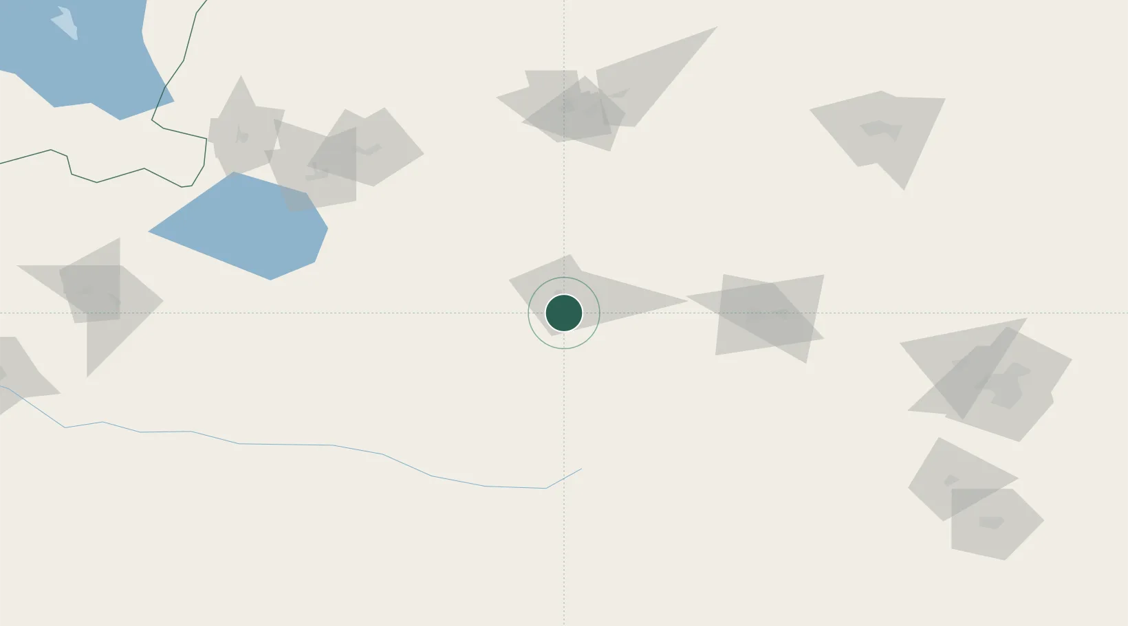
Hub Profile
Place type
Populated place
Region
Gansu
Time zone
Asia/Shanghai
Elevation
1,827 m
Location
Nearby Logistics Neighbours
Cities
- 1Manas109 km
- 2Alashankou202 km
- 3Dosytk213 km
- 4Alatawshankou213 km
- 5Urumqi International Lugang227 km
Ports
- 1Calcutta2443 km
- 2Mongla2470 km
- 3Haldia Port2499 km
- 4Chittagong2530 km
- 5Igarka2573 km
Airports
- 1Shihezi Huayuan Airport83 km
- 2Karamay Airport126 km
- 3Xinyuan Nalati Airport155 km
- 4Hejing Bayinbuluke Airport166 km
- 5Ürümqi Changji Air Base183 km
Trade Zones
DatabookThe Record of Consolidated Knowledge
China beyond logistics?