Free Trade Zone · China

Shuimogou Industrial Park Active
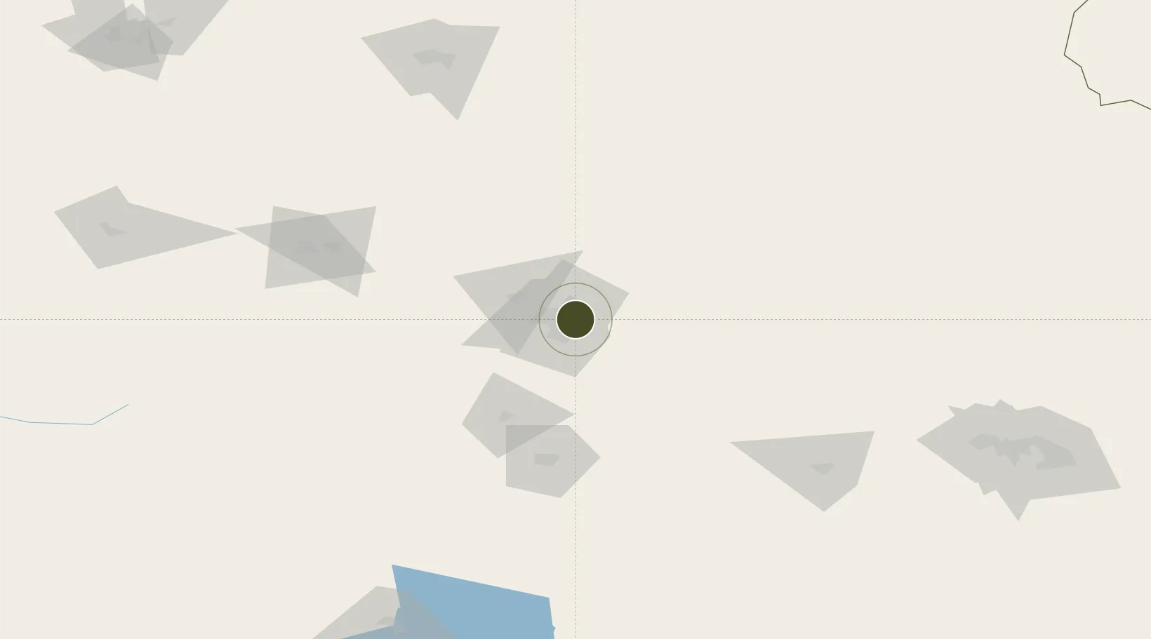
43.8833°, 87.6784°
352 ha
Zone area
2,372.9 km
Nearest port
16.3 km
Nearest airport

Gateway access

Nearest neighbours — logibook spatial index (haversine) over the source coordinates

Zone profile

Zone type
Free Trade Zone
Open Zone Map
Region
Xinjiang
Open Zone Map
Status
Active
Open Zone Map
Management
Public
Open Zone Map
Operator
Management Committee of Shuimogou Industrial Park
Open Zone Map
Legal framework
Urumqi Shuimogou Industrial Park is an Autonomous Region-level industrial Park (New Deal Letter [2006] No. 54)
Open Zone Map

Location

Location of ozm-1509
Natural Earth 10m (public domain) · Xinjiang · ozm-1509 · 43.88, 87.68GoogleOSMYandex

Nearby Logistics Neighbours

Ports
  1. 1Calcutta2373 km
  2. 2Mongla2388 km
  3. 3Chittagong2428 km
  4. 4Haldia Port2432 km
  5. 5Dhamra2566 km
Nearest neighbours — logibook spatial index (haversine) over the source coordinates
Airports
  1. 1Ürümqi Tianshan International Airport16 km
  2. 2Ürümqi South Air Base48 km
  3. 3Ürümqi Changji Air Base49 km
  4. 4Shihezi Huayuan Airport148 km
  5. 5Turpan Jiaohe Airport149 km
Nearest neighbours — logibook spatial index (haversine) over the source coordinates
Cities
  1. 1Urumqi International Lugang10 km
  2. 2Urumqi16 km
  3. 3Manas126 km
  4. 4Shanshan231 km
  5. 5Dushanzi231 km
Nearest neighbours — logibook spatial index (haversine) over the source coordinates
Trade Zones
  1. 1Urumqi Export Processing Zone13 km
  2. 2Corps Urumqi Industrial Park22 km
  3. 3Zhundong Industrial Park of Xinjiang Corps49 km
  4. 4Xinjiang Fukang Industrial Park53 km
  5. 5Shihezi New Chemical Material Industrial Park134 km
Nearest neighbours — logibook spatial index (haversine) over the source coordinates
DatabookThe Record of Consolidated Knowledge
China beyond logistics?
Browse databook

All Sources

Trade ZonesOpen Zone Map
CC BY
Portsthe NGA World Port Index
Public domain (US gov)
AirportsOurAirports
Public domain
LocationsUN/LOCODE
UN/LOCODE — free
← China trade zones