Diversified Zone · Philippines

Mariveles Economic Zone Under Development
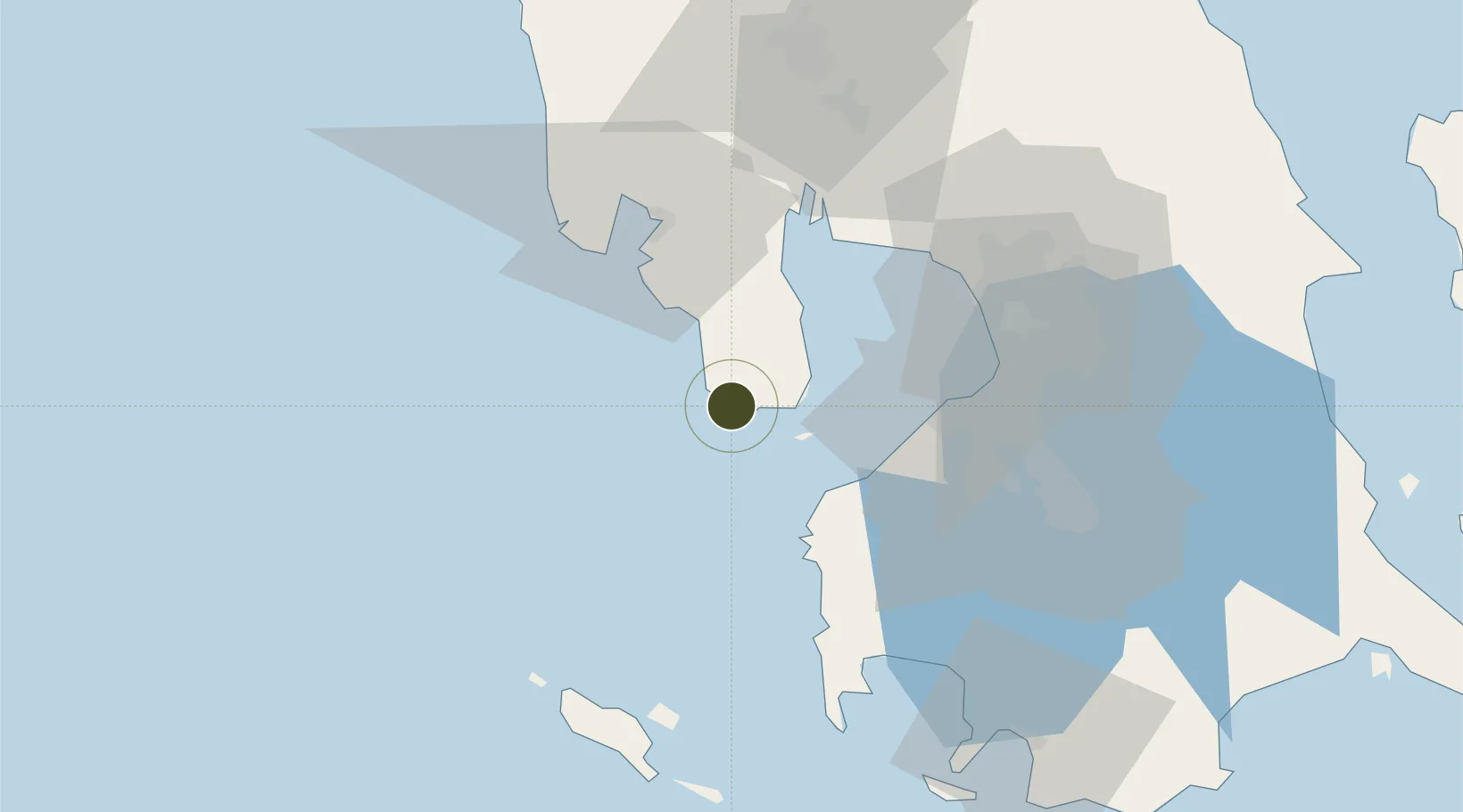
14.4455°, 120.4341°
472 ha
Zone area
5.5 km
Nearest port
42.6 km
Nearest airport

Gateway access

Nearest neighbours — logibook spatial index (haversine) over the source coordinates

Zone profile

Zone type
Diversified Zone
Open Zone Map
Region
Bataan
Open Zone Map
Status
Under Development
Open Zone Map
Management
Private
Open Zone Map
Operator
E-Fare Investment Holdings, Inc.
Open Zone Map
Legal framework
Special Economic Zone Act (Republic Act No. 7916) (as amended by Republic Act No. 8748)
Open Zone Map

Location

Location of ozm-3226
Natural Earth 10m (public domain) · Bataan · ozm-3226 · 14.45, 120.43GoogleOSMYandex

Nearby Logistics Neighbours

Ports
  1. 1Mariveles6 km
  2. 2Subic Bay43 km
  3. 3Nasugbu45 km
  4. 4Manila59 km
  5. 5Batangas City102 km
Nearest neighbours — logibook spatial index (haversine) over the source coordinates
Airports
  1. 1Subic Bay International Airport / Naval Air Station Cubi Point43 km
  2. 2Danilo Atienza Air Base51 km
  3. 3Ninoy Aquino International Airport64 km
  4. 4Lubang Airport75 km
  5. 5Clark International Airport / Clark Air Base83 km
Nearest neighbours — logibook spatial index (haversine) over the source coordinates
Cities
  1. 1Corregidor Island18 km
  2. 2Lucanin20 km
  3. 3Olongapo40 km
  4. 4Subic Bay43 km
  5. 5Cavite, Luzon44 km
Nearest neighbours — logibook spatial index (haversine) over the source coordinates
Trade Zones
  1. 1Freeport Area of Bataan7 km
  2. 2Global Economic Zone18 km
  3. 3PNOC Petrochemical Industrial Estate II19 km
  4. 4PNOC Petrochemical Industrial Estate26 km
  5. 5Starmall Bataan (BPO)27 km
Nearest neighbours — logibook spatial index (haversine) over the source coordinates
DatabookThe Record of Consolidated Knowledge
Philippines beyond logistics?
Browse databook

All Sources

Trade ZonesOpen Zone Map
CC BY
Portsthe NGA World Port Index
Public domain (US gov)
AirportsOurAirports
Public domain
LocationsUN/LOCODE
UN/LOCODE — free
← Philippines trade zones