Large airport · Philippines

Ninoy Aquino International AirportRPLL
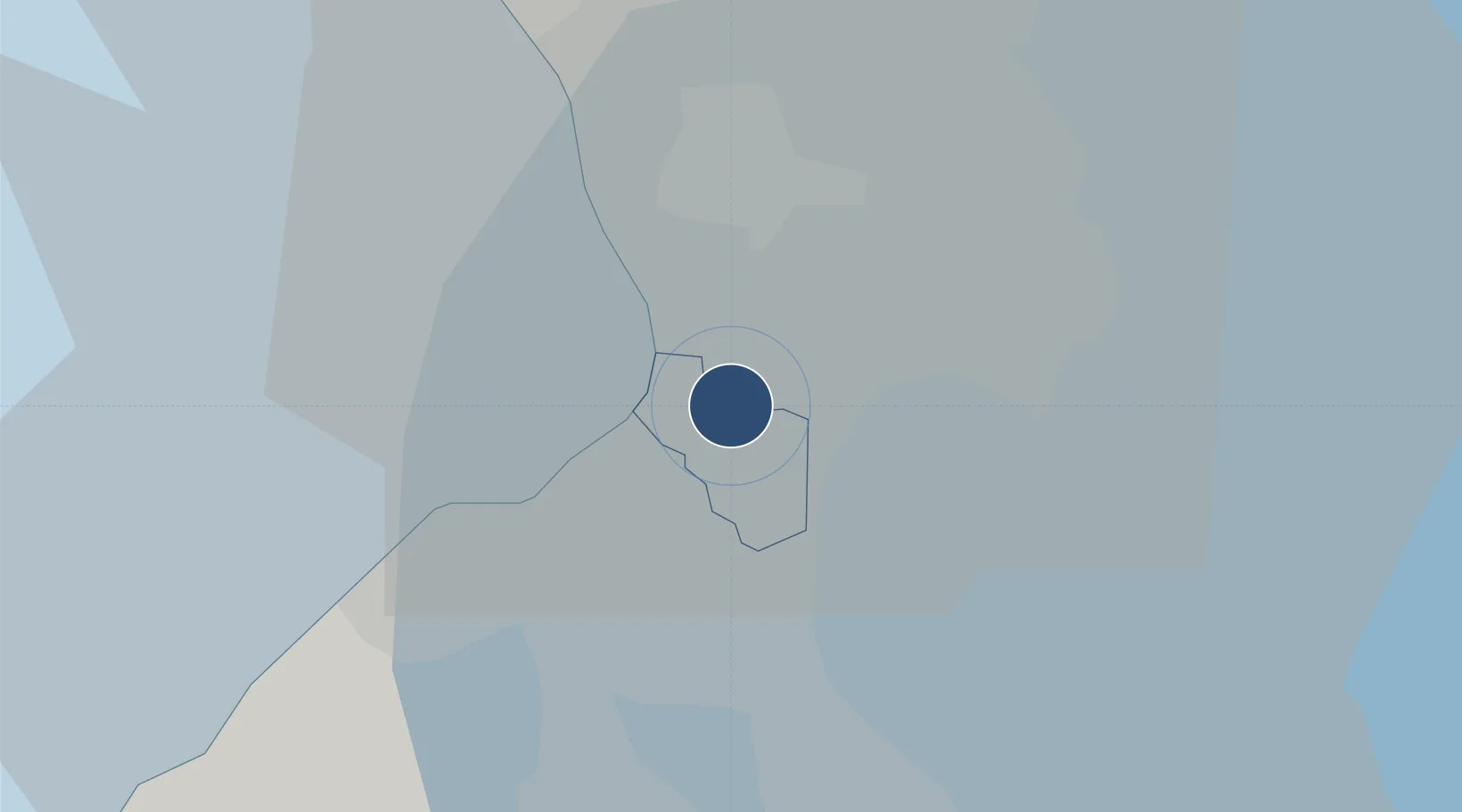
14.5086°, 121.0200°
12,261 ft
Longest runway
2
Runways
75 ft
Elevation

Runway & Layout

Ninoy Aquino International Airport runway & taxiway layout
Runway & taxiway layout — OpenStreetMap (ODbL) / OurAirports

Radio Frequencies

ATIS
126.4 MHz
MANILA ATIS
TWR
118.1 MHz
MANILA TWR
GND
121.9 MHz
CLD
125.1 MHz
CLNC DEL
A/D
119.7 MHz
MANILA APP
ACC
128.3 MHz
MANILA CON
FSS
544.75 MHz
MANILA RDO
RMP
121.7 MHz
RAMP 1
OurAirports

Navaids

MIA VOR-DME Manila 113.80 MHz
RS NDB Rosario 285 kHz
OurAirports

Runways · 2

RunwayDimensions SurfaceTrue headingLit
06/24 12,261 × 197ft Concrete 060°
13/31 7,408 × 148ft Concrete 135°
OurAirports

Airport Specifications

IATA code
MNL
OurAirports
ICAO code
RPLL
OurAirports
Airport class
Large airport
OurAirports
Scheduled service
Yes
OurAirports
Runway surface
Concrete
OurAirports
Served city
Manila (Pasay)
OurAirports

Location

Location of RPLL
Natural Earth 10m (public domain) · Paranaque · RPLL · 14.51, 121.02GoogleOSMYandex

Nearby Logistics Neighbours

Airports
  1. 1Danilo Atienza Air Base13 km
  2. 2Subic Bay International Airport / Naval Air Station Cubi Point87 km
  3. 3Clark International Airport / Clark Air Base90 km
  4. 4Lubang Airport123 km
  5. 5Dr. Juan C. Angara Airport145 km
Nearest neighbours — logibook spatial index (haversine) over the source coordinates
Cities
  1. 1Bangkal4 km
  2. 2Parañaque4 km
  3. 3Makati City6 km
  4. 4Philippines9 km
  5. 5Manila9 km
Nearest neighbours — logibook spatial index (haversine) over the source coordinates
Ports
  1. 1Manila10 km
  2. 2Mariveles58 km
  3. 3Nasugbu64 km
  4. 4Batangas City84 km
  5. 5Subic Bay87 km
Nearest neighbours — logibook spatial index (haversine) over the source coordinates
Trade Zones
  1. 1MacroAsia (Cebu) Ecozone1 km
  2. 2Newport City CyberTourism Zone1 km
  3. 3TDG Innovation and Global Business Solutions Center2 km
  4. 4Food Terminal Incorporated Special Economic Zone2 km
  5. 5ECOPRIME2 km
Nearest neighbours — logibook spatial index (haversine) over the source coordinates
DatabookThe Record of Consolidated Knowledge
Philippines beyond logistics?
Browse databook

All Sources

AirportsOurAirports
Public domain
Portsthe NGA World Port Index
Public domain (US gov)
LocationsUN/LOCODE
UN/LOCODE — free
Trade Zonesthe World Bank SEZ database
CC BY 4.0
Trade ZonesOpen Zone Map
CC BY
InfrastructureOpenStreetMap
ODbL 1.0
← Philippines airports